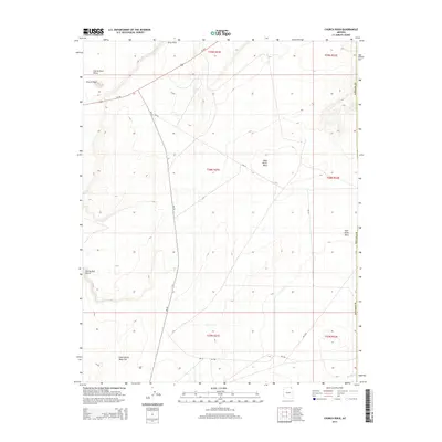
2014 Map of Church Rock
USGS Topo · Published 2014About this map
Church Rock and its surrounding valley anchor this high-desert landscape in Navajo County, where geological features serve as the primary landmarks for navigation. The survey reveals a terrain defined by expansive plateaus and eroded formations, including Baby Rocks Mesa and the uniquely named Facing Red Points. The northern reaches are bisected by Us-160, a critical transportation artery that runs through Church Rock Valley near Gray Point.
Find a feature on this map
22 named features on this map. Tap any name to fly to it.
Don’t see what you’re looking for? This feature index may not catch every label — zoom into the map to look around manually.
Map Details
Editions of this 2014 Church Rock Map
This is the sole edition of this map. No revisions or reprints were ever made.
Other maps of this area

1883 · Marsh Pass
USGS Topo · 1:250,000

1892 · Marsh Pass
USGS Topo · 1:250,000

1892 · Canyon De Chelly
USGS Topo · 1:250,000

1952 · Dinnehotso
USGS Topo · 1:62,500

1952 · Agathla Peak 1 SE
USGS Topo · 1:24,000

1952 · Setsiltso Springs 2 SW
USGS Topo · 1:24,000

1952 · Agathla Peak
USGS Topo · 1:62,500

1952 · Agathla Peak 1 SW
USGS Topo · 1:24,000

1954 · Shiprock
USGS Topo · 1:250,000

1956 · Marble Canyon
USGS Topo · 1:250,000