
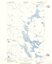
1954 Map of Churchill Lake
USGS Topo · Published 1955About this map
The vast interconnected waterways of the North Maine Woods define this mid-century survey, centered on the critical portage and transit points between the Great North Woods lakes. A notable industrial artifact, the Tramway remains indicated between Eagle Lake and Chamberlain Lake, a relic of the era when timber was moved between watersheds to reach different mills. The map also records the infrastructure of the Maine Forest Service and early sporting camps, such as the Lookout Tower on Soper Mtn and remote outposts like Zeigler Camp Ground.
Find a feature on this map
62 named features on this map. Tap any name to fly to it.
Don’t see what you’re looking for? This feature index may not catch every label — zoom into the map to look around manually.
Map Details
Editions of this 1954 Churchill Lake Map
2 editions found
Other maps of this area

1932 · Umsaskis Lake
USGS Topo · 1:48,000

1932 · Musquacook Lakes
USGS Topo · 1:48,000

1935 · Umsaskis Lake
USGS Topo · 1:62,500

1935 · Musquacook Lakes
USGS Topo · 1:62,500

1953 · Telos Lake
USGS Topo · 1:62,500

1954 · Chesuncook
USGS Topo · 1:62,500

1954 · Spider Lake
USGS Topo · 1:62,500

1954 · Caucomgomoc Lake
USGS Topo · 1:62,500

1954 · Allagash Lake
USGS Topo · 1:62,500

1954 · Presque Isle
USGS Topo · 1:250,000