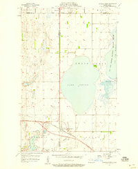
1957 Map of Churchs Ferry
USGS Topo · Published 1958About this map
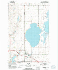
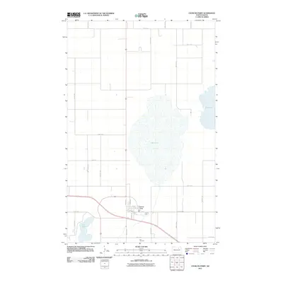
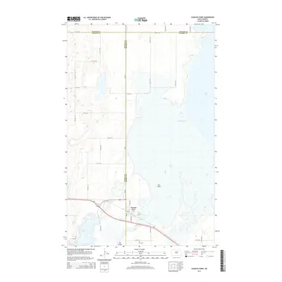
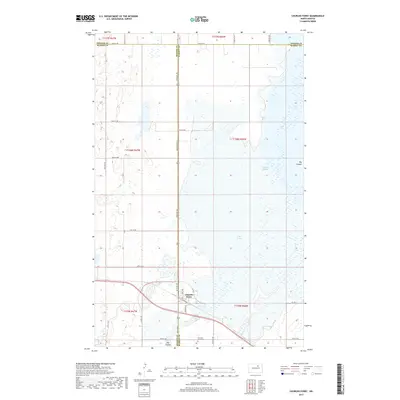
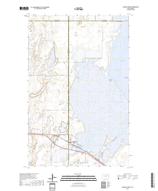
Churchs Ferry and the nearby village of Maza are the primary hubs of activity in this northern North Dakota landscape during the mid-1950s. The survey illustrates a region defined by its complex hydrologic systems, where Lake Irvine and the Chain Lakes dominate the central topography. These water bodies are connected by Mauvais Coulee, while the surrounding prairie is protected by significant conservation areas including the Lac Aux Mortes National Wildlife Refuge and the Silver Lake National Wildlife Refuge. The rail-based economy of the era is evident through the prominent route of the Great Northern railroad, which bisects the territory and links the various township sections. Local landmarks such as the Zion Cem and scattered Gravel Pit operations provide specific points of interest for those researching family history or historical land use in Ramsey, Benson, and Towner Counties.
Find a feature on this map
19 named features on this map. Tap any name to fly to it.
Don’t see what you’re looking for? This feature index may not catch every label — zoom into the map to look around manually.
Map Details
Editions of this 1957 Churchs Ferry Map
This is the sole edition of this map. No revisions or reprints were ever made.
Historical Maps of Churchs Ferry Through Time
7 maps found