
1956 Map of Brinsmade
USGS Topo · Published 1983About this map
Brinsmade (BM 1563) sits at a significant rail junction in Benson County, where the Northern Pacific and Minneapolis St Paul and Sault Ste Marie lines converge. This mid-century survey captures the community and its surrounding agricultural townships of Normania, McClellan, and Riggin. The landscape is defined by the prairie pothole region's drainage, featuring significant water bodies like Lake Ibsen and Lake Yri, along with the seasonal flow of Little Coulee.
Find a feature on this map
17 named features on this map. Tap any name to fly to it.
Don’t see what you’re looking for? This feature index may not catch every label — zoom into the map to look around manually.
Map Details
Editions of this 1956 Brinsmade Map
This is the sole edition of this map. No revisions or reprints were ever made.
Other maps of this area

1932 · Grahams Island
USGS Topo · 1:62,500

1950 · Grahams Island
USGS Topo · 1:62,500

1951 · Tilden
USGS Topo · 1:24,000

1951 · Minnewaukan East
USGS Topo · 1:24,000

1953 · Devils Lake
USGS Topo · 1:250,000

1956 · Devils Lake
USGS Topo · 1:250,000

1957 · Comstock
USGS Topo · 1:24,000

1957 · Churchs Ferry
USGS Topo · 1:24,000
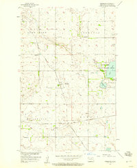
1957 · Brinsmade
USGS Topo · 1:24,000
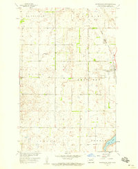
1958 · Minnewaukan West
USGS Topo · 1:24,000