
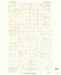
1957 Map of Comstock
USGS Topo · Published 1958About this map
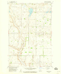
Comstock serves as a central point of interest in this Benson County landscape, situated at the junction of the Northern Pacific and the Minneapolis St Paul and Sault Ste Marie railroads. The topography is defined by the expansive Beaver Lake Basin and the depression of Butte Valley, revealing a glaciated terrain dotted with numerous small wetlands and sloughs characteristic of the Drift Prairie. Near the northern edge, Lake Ibsen and the Big Coulee provide significant water features. Rural life is anchored by local landmarks including Wimmerth Cem and several educational outposts like School No 4 and Gallinger Sch No 1. The map captures a moment in the mid-1950s when the rail network was still the primary skeleton for transport across these prairie townships.
Find a feature on this map
18 named features on this map. Tap any name to fly to it.
Don’t see what you’re looking for? This feature index may not catch every label — zoom into the map to look around manually.
Map Details
Editions of this 1957 Comstock Map
2 editions found
Other maps of this area

1953 · Devils Lake
USGS Topo · 1:250,000

1956 · Devils Lake
USGS Topo · 1:250,000

1956 · Brinsmade
USGS Topo · 1:24,000
1957 · Brinsmade
USGS Topo · 1:24,000
1958 · Minnewaukan West
USGS Topo · 1:24,000
1958 · Brinsmade SW
USGS Topo · 1:24,000

1958 · Harlow
USGS Topo · 1:24,000
1958 · Harlow SE
USGS Topo · 1:24,000

1971 · York
USGS Topo · 1:24,000

1971 · Leeds
USGS Topo · 1:24,000