
1958 Map of Harlow
USGS Topo · Published 1960About this map
Harlow serves as the primary rail hub for this section of Benson County, situated along the Minneapolis St Paul and Sault Ste Marie line. The landscape is defined by the shallow, prairie-pothole hydrology characteristic of the region, featuring Twin Lakes, Mud Lake, and Sheep Lake. To the south, the terrain levels out into the broad Butte Valley, while the northeast is marked by the distinctive elevation of The Buttes. Local history is anchored by rural landmarks such as St Petri Ch and Our Saviors Cem, which provide specific points of interest for genealogical research. Several gravel operations, including various Gravel Pits near the high ground, point to the localized extraction industry supporting the township’s infrastructure and road network during the late 1950s.
Find a feature on this map
12 named features on this map. Tap any name to fly to it.
Don’t see what you’re looking for? This feature index may not catch every label — zoom into the map to look around manually.
Map Details
Editions of this 1958 Harlow Map
This is the sole edition of this map. No revisions or reprints were ever made.
Other maps of this area

1953 · Devils Lake
USGS Topo · 1:250,000

1956 · Devils Lake
USGS Topo · 1:250,000

1957 · Comstock
USGS Topo · 1:24,000
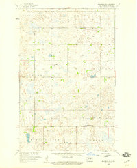
1958 · Brinsmade SW
USGS Topo · 1:24,000

1958 · Baker
USGS Topo · 1:24,000
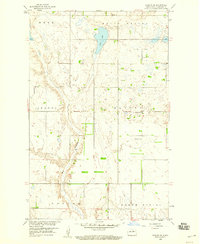
1958 · Harlow SE
USGS Topo · 1:24,000
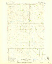
1958 · Harlow SW
USGS Topo · 1:24,000

1971 · Knox
USGS Topo · 1:24,000

1971 · York
USGS Topo · 1:24,000

1971 · Leeds
USGS Topo · 1:24,000