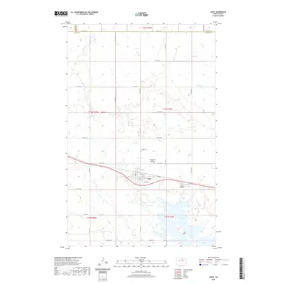
1971 Map of Leeds
USGS Topo · Published 1973About this map
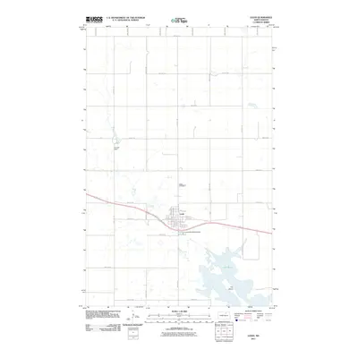
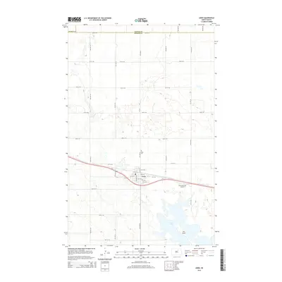
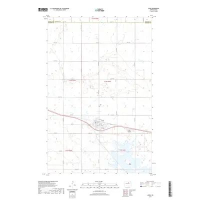
The city of Leeds sits at the center of this North Dakota prairie landscape, serving as a vital hub for the Burlington Northern railroad that cuts east-to-west through the terrain. The map captures a transition in regional infrastructure, with the Leeds Airport and a local Golf Course established south of the main town site. Agriculture and municipal management dominate the area, evidenced by the scattered Gravel Pits and Sewage Disposal Ponds. To the south, the waters of Ibsen Lake define the lower boundary of the quadrangle, featuring a prominent landform known as The Island. Researchers can trace the civic footprint of the era through the locations of the Townhall and the Leeds Cem, while the county lines of Pierce, Towner, and Benson reveal the jurisdictional boundaries of the early 1970s.
Find a feature on this map
20 named features on this map. Tap any name to fly to it.
Don’t see what you’re looking for? This feature index may not catch every label — zoom into the map to look around manually.
Map Details
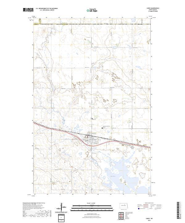
Editions of this 1971 Leeds Map
2 editions found
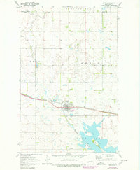
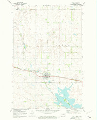
Historical Maps of Leeds Through Time
7 maps found