Loading...
Loading map...1971 Map of Leeds
USGS Topo · Published 1980About this map
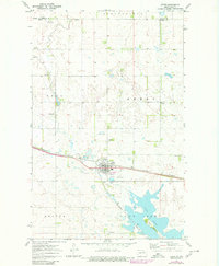
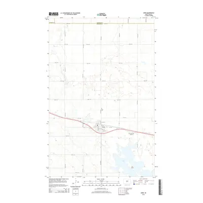
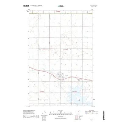
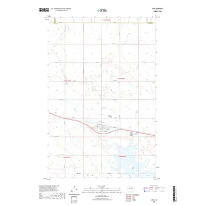
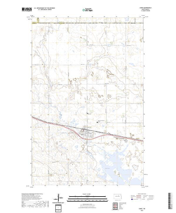
Leeds serves as the central hub of this North Dakota prairie landscape, situated at a key junction of the Burlington Northern railroad. The town's layout reflects a typical mid-century rural center, complete with a dedicated Golf Course, a Townhall, and the Leeds Airport located just south of the tracks. The surrounding plains are heavily shaped by water and infrastructure, featuring numerous Gravel Pit sites and a Substation to the south.
Find a feature on this map
20 named features on this map. Tap any name to fly to it.
Don’t see what you’re looking for? This feature index may not catch every label — zoom into the map to look around manually.
Map Details
Date Portrayed1971
Date Published1980
PublisherU.S. Geological Survey
Map TypeTopographic
Scale1:24,000
Physical Dimensions22 x 26.7 inches
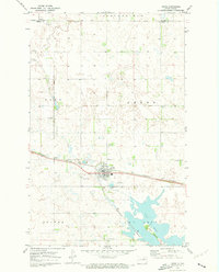
Editions of this 1971 Leeds Map
2 editions found
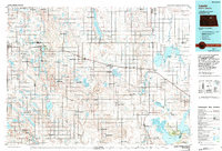
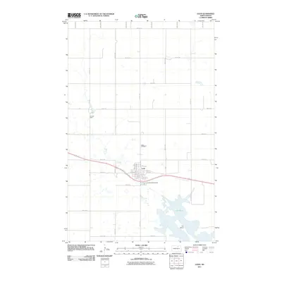
Historical Maps of Leeds Through Time
7 maps found
Featured Locations
Source Details
SourceU.S. Geological Survey
CopyrightPublic Domain