2024 Map of Leeds
USGS Topo · Published 2024About this map
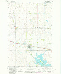
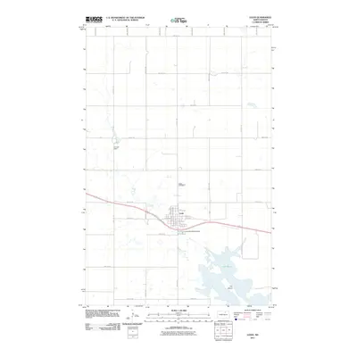
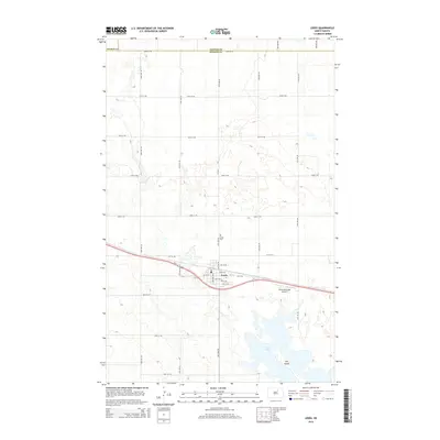
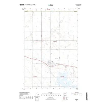
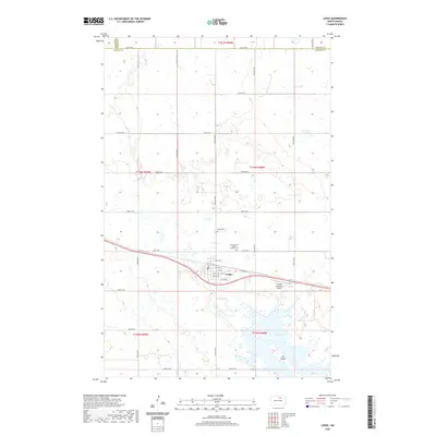
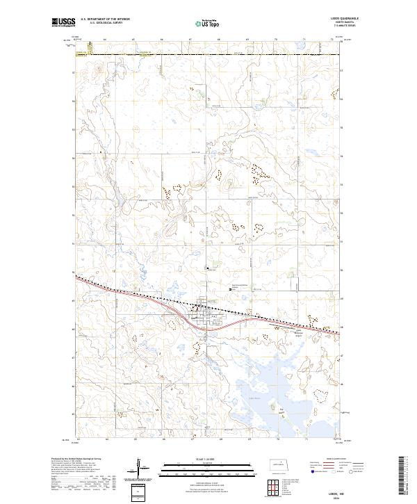
Leeds serves as the central hub of this northern North Dakota landscape, situated at the intersection of a grid-like road network and established rail corridors. The town plan is clearly defined by streets such as Main St E and Central Ave N, reflecting the typical organized settlement patterns of the prairie. To the southeast, the waters of Lake Ibsen dominate the lower terrain, featuring a distinct landform known as The Island. The area is also characterized by significant conservation efforts, with the Benson County Waterfowl Production Area spanning multiple sections of the quadrangle. Local heritage is preserved at sites like Saint Vincent DePaul Catholic church and the adjacent Saint Vincent DePaul Catholic Cem, while the Leeds Municipal Airport indicates the modern infrastructure supporting this rural community.
Find a feature on this map
39 named features on this map. Tap any name to fly to it.
Don’t see what you’re looking for? This feature index may not catch every label — zoom into the map to look around manually.
Map Details
Editions of this 2024 Leeds Map
This is the sole edition of this map. No revisions or reprints were ever made.
Historical Maps of Leeds Through Time
7 maps found