
1958 Map of Baker
USGS Topo · Published 1960About this map
The small settlement of Baker sits at a rail intersection in the North Dakota prairie, serving as a focal point for this late-1950s survey of Benson County. The regional landscape is defined by the Minneapolis St Paul and Sault Ste Marie railroad, which cuts diagonally across the terrain, shaping the local transport and trade network. This area is characterized by numerous small depressions and water bodies typical of the region, including the prominent Twin Lakes on the eastern edge. Beyond agriculture, the presence of several Gravel Pits and a Gravel Pit suggests the local importance of aggregate extraction for road building and infrastructure development during this period of the Missouri River Basin development program.
Find a feature on this map
11 named features on this map. Tap any name to fly to it.
Don’t see what you’re looking for? This feature index may not catch every label — zoom into the map to look around manually.
Map Details
Editions of this 1958 Baker Map
This is the sole edition of this map. No revisions or reprints were ever made.
Other maps of this area

1953 · Devils Lake
USGS Topo · 1:250,000

1956 · Devils Lake
USGS Topo · 1:250,000

1958 · Fillmore
USGS Topo · 1:24,000
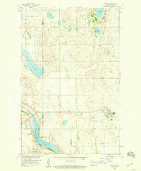
1958 · Esmond
USGS Topo · 1:24,000

1958 · Harlow
USGS Topo · 1:24,000
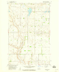
1958 · Harlow SE
USGS Topo · 1:24,000
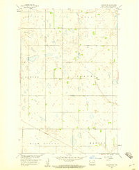
1958 · Harlow SW
USGS Topo · 1:24,000

1971 · Knox
USGS Topo · 1:24,000

1971 · York
USGS Topo · 1:24,000
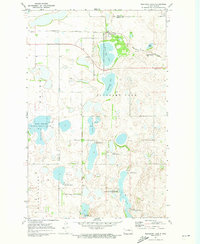
1971 · Pleasant Lake
USGS Topo · 1:24,000