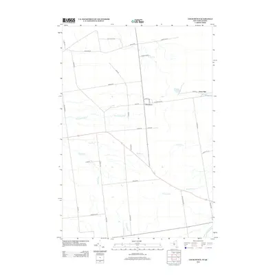
2013 Map of Churubusco
USGS Topo · Published 2013About this map
Churubusco and Clinton Mills sit along the northern edge of Clinton County, New York, in this 2013 survey. This borderland landscape is defined by its extensive network of watercourses, including the Marble River, Hinchinbrook Brook, and the N Br Great Chazy River near the southeastern corner. The map documents a rural road network that follows early land divisions and family settlement patterns, with routes such as Pete Laclair Rd, Bohon Rd, and Lagree Rd connecting isolated farmsteads and rural residences. Small drainages like Crystal Cr and Brandy Brook weave through the terrain, illustrating the hydrological complexity of the region. The presence of Clinton Mills suggests the historical importance of the English River to local industry, while the town of Churubusco remains the primary social and geographic hub of this northern frontier.
Find a feature on this map
38 named features on this map. Tap any name to fly to it.
Don’t see what you’re looking for? This feature index may not catch every label — zoom into the map to look around manually.
Map Details
Editions of this 2013 Churubusco Map
This is the sole edition of this map. No revisions or reprints were ever made.
Other maps of this area

1915 · Churubusco
USGS Topo · 1:62,500

1915 · Chateaugay
USGS Topo · 1:62,500

1943 · Churubusco
USGS Topo · 1:62,500

1943 · Chateaugay
USGS Topo · 1:62,500

1948 · Ogdensburg
USGS Topo · 1:250,000

1950 · Lake Champlain
USGS Topo · 1:250,000

1951 · Ogdensburg
USGS Topo · 1:250,000

1953 · Ogdensburg
USGS Topo · 1:250,000

1958 · Lake Champlain
USGS Topo · 1:250,000

1961 · Ogdensburg
USGS Topo · 1:250,000