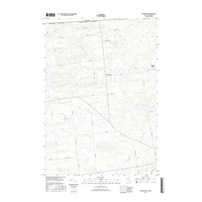
2016 Map of Churubusco
USGS Topo · Published 2016About this map
Churubusco serves as the central hub of this northern Clinton County landscape, positioned just south of the international boundary between Canada and the United States. The settlement pattern is defined by a traditional grid of rural roads, including Co Rd 8 and Patnode Rd, which navigate the headwaters of several significant drainage systems. To the northeast, the smaller settlement of Clinton Mills sits near the banks of the English River, hinting at the area's historical industrial ties to local water power.
Find a feature on this map
38 named features on this map. Tap any name to fly to it.
Don’t see what you’re looking for? This feature index may not catch every label — zoom into the map to look around manually.
Map Details
Editions of this 2016 Churubusco Map
This is the sole edition of this map. No revisions or reprints were ever made.
Other maps of this area

1915 · Churubusco
USGS Topo · 1:62,500

1915 · Chateaugay
USGS Topo · 1:62,500

1943 · Churubusco
USGS Topo · 1:62,500

1943 · Chateaugay
USGS Topo · 1:62,500

1948 · Ogdensburg
USGS Topo · 1:250,000

1950 · Lake Champlain
USGS Topo · 1:250,000

1951 · Ogdensburg
USGS Topo · 1:250,000

1953 · Ogdensburg
USGS Topo · 1:250,000

1958 · Lake Champlain
USGS Topo · 1:250,000

1961 · Ogdensburg
USGS Topo · 1:250,000