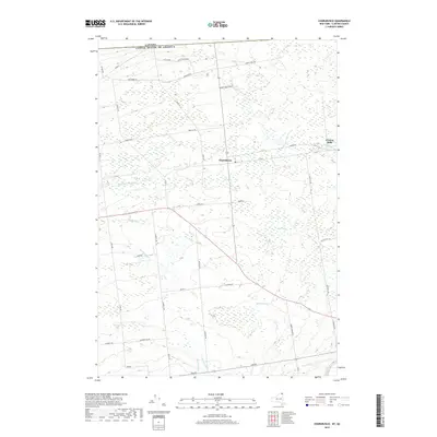
2019 Map of Churubusco
USGS Topo · Published 2019About this map
The international border between New York and Quebec defines the northern edge of this landscape, where the rural community of Churubusco serves as a central hub. The terrain is marked by a sophisticated network of waterways including the English River, Marble River, and Brandy Brook, reflecting a region defined by its drainage into the Saint Lawrence River basin. To the northeast, the settlement of Clinton Mills sits near the headwaters of the English River, indicating the area's historical reliance on water power and timber resources.
Find a feature on this map
38 named features on this map. Tap any name to fly to it.
Don’t see what you’re looking for? This feature index may not catch every label — zoom into the map to look around manually.
Map Details
Editions of this 2019 Churubusco Map
This is the sole edition of this map. No revisions or reprints were ever made.
Other maps of this area

1915 · Churubusco
USGS Topo · 1:62,500

1915 · Chateaugay
USGS Topo · 1:62,500

1943 · Churubusco
USGS Topo · 1:62,500

1943 · Chateaugay
USGS Topo · 1:62,500

1948 · Ogdensburg
USGS Topo · 1:250,000

1950 · Lake Champlain
USGS Topo · 1:250,000

1951 · Ogdensburg
USGS Topo · 1:250,000

1953 · Ogdensburg
USGS Topo · 1:250,000

1958 · Lake Champlain
USGS Topo · 1:250,000

1961 · Ogdensburg
USGS Topo · 1:250,000