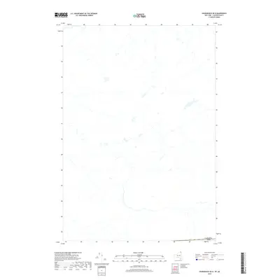
2019 Map of Churubusco OE N
USGS Topo · Published 2019About this map
The international boundary between Canada and the USA defines the southern edge of this landscape, situated just north of the border in Quebec. This 2019 survey, produced by the U.S. Geological Survey, details a rural expanse characterized by its intricate hydrography and wetland systems. The terrain is marked by numerous small tributaries and boggy areas, reflecting the geography of Le Haut-Saint-Laurent. While the map is part of a United States series, its focus is almost entirely on Canadian territory, providing an unusual perspective of the cross-border landscape where the northern reaches of Clinton County meet the southern boundary of Quebec. The absence of densely named settlements highlights the predominantly undeveloped or agricultural nature of this specific border zone during the late twenty-first century.
Find a feature on this map
1 named feature on this map. Tap any name to fly to it.
Don’t see what you’re looking for? This feature index may not catch every label — zoom into the map to look around manually.
Map Details
Editions of this 2019 Churubusco OE N Map
This is the sole edition of this map. No revisions or reprints were ever made.
Other maps of this area

1915 · Churubusco
USGS Topo · 1:62,500

1915 · Chateaugay
USGS Topo · 1:62,500

1943 · Churubusco
USGS Topo · 1:62,500

1943 · Chateaugay
USGS Topo · 1:62,500

1948 · Ogdensburg
USGS Topo · 1:250,000

1950 · Lake Champlain
USGS Topo · 1:250,000

1951 · Ogdensburg
USGS Topo · 1:250,000

1953 · Ogdensburg
USGS Topo · 1:250,000

1958 · Lake Champlain
USGS Topo · 1:250,000

1961 · Ogdensburg
USGS Topo · 1:250,000