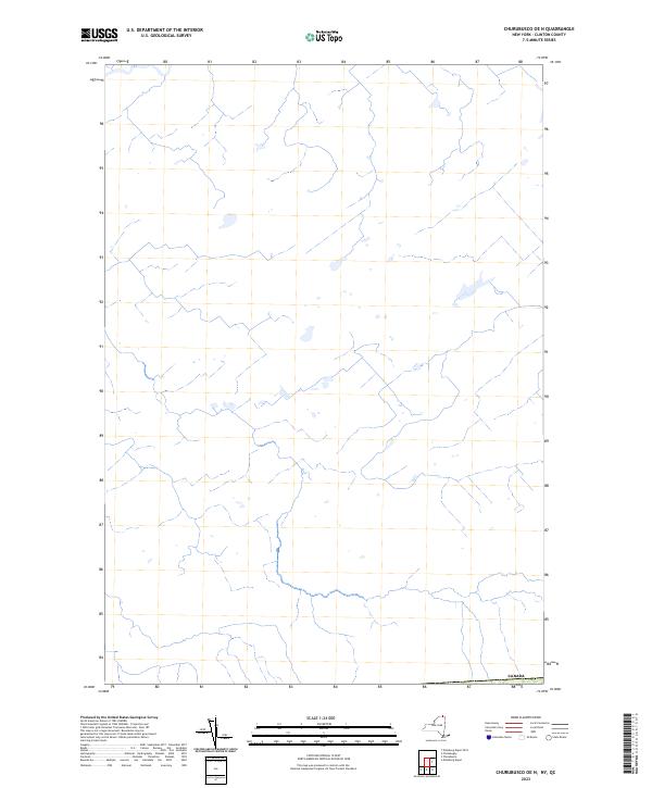
2023 Map of Churubusco OE N
USGS Topo · Published 2023About this map
The international border with Canada defines the northern edge of this Clinton County landscape, where the hydrography suggests a network of headwaters and small drainages characteristic of the northern New York borderlands. This 2023 survey by the U.S. Geological Survey focuses on a primarily rural and wetland-rich area, utilizing data from the National Hydrography Dataset and the National Wetlands Inventory. The absence of densely concentrated labels indicates a sparsely settled region, where the primary feature of interest for researchers is the alignment of the international boundary and the natural drainage patterns that flow across the high northern latitudes of the state.
Find a feature on this map
1 named feature on this map. Tap any name to fly to it.
Don’t see what you’re looking for? This feature index may not catch every label — zoom into the map to look around manually.
Map Details
Editions of this 2023 Churubusco OE N Map
This is the sole edition of this map. No revisions or reprints were ever made.
Other maps of this area

1915 · Churubusco
USGS Topo · 1:62,500

1915 · Chateaugay
USGS Topo · 1:62,500

1943 · Churubusco
USGS Topo · 1:62,500

1943 · Chateaugay
USGS Topo · 1:62,500

1948 · Ogdensburg
USGS Topo · 1:250,000

1950 · Lake Champlain
USGS Topo · 1:250,000

1951 · Ogdensburg
USGS Topo · 1:250,000

1953 · Ogdensburg
USGS Topo · 1:250,000

1958 · Lake Champlain
USGS Topo · 1:250,000

1961 · Ogdensburg
USGS Topo · 1:250,000