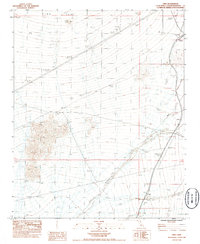
1983 Map of Cima
USGS Topo · Published 1985About this map
The massive Cima Dome geological formation dominates this desert landscape, characterized by its remarkably symmetrical, gently sloping terrain. At the eastern edge of the survey, the high-desert settlement of Cima serves as a critical point along the Union Pacific railroad line, which cuts diagonally across the arid floor. This transportation corridor connects smaller outposts like Chase and Elora to the larger rail network. Water management is a primary feature of this environment, as evidenced by the distribution of localized catchments such as White Rock Tank and Eightmile Tank. These water sources, along with various Corrals, reflect the area's history of range livestock management. Wide drainage systems including Kelso Wash and Cedar Wash illustrate the complex desert hydrology where runoff from Wildcat Butte and surrounding peaks shapes the valley floor.
Find a feature on this map
18 named features on this map. Tap any name to fly to it.
Don’t see what you’re looking for? This feature index may not catch every label — zoom into the map to look around manually.
Map Details
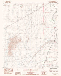
Editions of this 1983 Cima Map
2 editions found
Other maps of this area

1910 · Ivanpah
USGS Topo · 1:250,000

1912 · Ivanpah
USGS Topo · 1:250,000

1942 · Ivanpah
USGS Topo · 1:250,000

1947 · Kingman
USGS Topo · 1:250,000

1948 · Kingman
USGS Topo · 1:250,000

1954 · Kingman
USGS Topo · 1:250,000

1955 · Kingman
USGS Topo · 1:250,000

1955 · Mescal Range
USGS Topo · 1:62,500

1955 · Mid Hills
USGS Topo · 1:62,500

1955 · Kelso
USGS Topo · 1:62,500