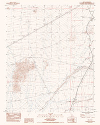
1983 Map of Cima
USGS Topo · Published 1983About this map
Cima Dome dominates the northern reaches of this High Desert landscape, where the vast, gently sloping volcanic landform provides a stark backdrop for the settlement of Cima. Recorded in the early 1980s, the map reveals a remote intersection of rail transport and desert hydrology. A network of ephemeral drainages, including Chase Wash and Kelso Wash, defines the alluvial plains. These washes flow toward the lower basins, shaping the placement of infrastructure like the Chase settlement and several outlying corrals.
Find a feature on this map
13 named features on this map. Tap any name to fly to it.
Don’t see what you’re looking for? This feature index may not catch every label — zoom into the map to look around manually.
Map Details
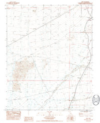
Editions of this 1983 Cima Map
2 editions found
Other maps of this area

1910 · Ivanpah
USGS Topo · 1:250,000

1912 · Ivanpah
USGS Topo · 1:250,000

1942 · Ivanpah
USGS Topo · 1:250,000

1947 · Kingman
USGS Topo · 1:250,000

1948 · Kingman
USGS Topo · 1:250,000

1954 · Kingman
USGS Topo · 1:250,000

1955 · Kingman
USGS Topo · 1:250,000

1955 · Mescal Range
USGS Topo · 1:62,500

1955 · Mid Hills
USGS Topo · 1:62,500

1955 · Kelso
USGS Topo · 1:62,500