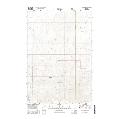
2014 Map of Cinnamon Peak
USGS Topo · Published 2014About this map
Lewis & Clark National Forest encompasses much of this high-elevation landscape along the boundary of Meagher and Wheatland counties. The terrain is defined by a dense network of watercourses, including the headwaters of Little Elk Cr, Lost Horse Cr, and Miller Cr. Rising prominently in the southeastern portion of the sheet is Cinnamon Peak, surrounded by numerous springs and drainages such as Bear Spring and Cinnamon Cr. The map shows a region largely defined by its natural hydrology and forest boundaries rather than dense settlement, with Miller Creek Rd serving as a primary corridor through the north. This 2014 survey documents the complex mountain drainages, illustrating how the E-Fork Miller Cr and W-Fork Miller Cr converge within the protected forest lands.
Find a feature on this map
22 named features on this map. Tap any name to fly to it.
Don’t see what you’re looking for? This feature index may not catch every label — zoom into the map to look around manually.
Map Details
Editions of this 2014 Cinnamon Peak Map
This is the sole edition of this map. No revisions or reprints were ever made.
Other maps of this area

1886 · Little Belt Mts.
USGS Topo · 1:250,000

1894 · Little Belt Mts.
USGS Topo · 1:250,000

1897 · Little Belt Mts.
USGS Topo · 1:250,000

1898 · Little Belt Mts.
USGS Topo · 1:250,000

1902 · Little Belt Mts.
USGS Topo · 1:250,000

1948 · White Sulphur Springs
USGS Topo · 1:250,000

1958 · White Sulphur Springs
USGS Topo · 1:250,000

1961 · White Sulphur Springs
USGS Topo · 1:250,000

1965 · White Sulphur Springs
USGS Topo · 1:250,000
1972 · Virginia Peak
USGS Topo · 1:24,000