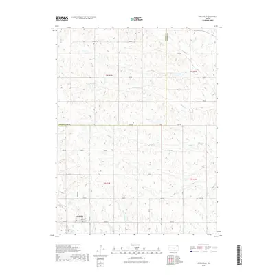
2018 Map of Circleville
USGS Topo · Published 2018About this map
Circleville sits at the heart of this Jackson County survey, organized around a traditional grid that includes Grant St and Mill Rd. The surrounding landscape is defined by the drainage patterns of several winding waterways, including Mosquito Cr, Straight Cr, and Elk Cr, which carve through the terrain of the t5s r14e and t6s r14e townships. The local road network follows the section lines, with many routes such as Bencraft Rd and 262nd Rd providing access to the agricultural plots that dominate the area. For those researching local families, the Circleville Cem is a primary landmark situated just outside the town center, while the Nemaha Co Jackson Co boundary line marks the northern reaches of this rural Kansas landscape.
Find a feature on this map
28 named features on this map. Tap any name to fly to it.
Don’t see what you’re looking for? This feature index may not catch every label — zoom into the map to look around manually.
Map Details
Editions of this 2018 Circleville Map
This is the sole edition of this map. No revisions or reprints were ever made.
Other maps of this area

1888 · Hiawatha
USGS Topo · 1:125,000

1889 · Topeka
USGS Topo · 1:125,000

1894 · Topeka
USGS Topo · 1:125,000

1894 · Hiawatha
USGS Topo · 1:125,000

1950 · Kansas City
USGS Topo · 1:250,000

1954 · Kansas City
USGS Topo · 1:250,000

1956 · Kansas City
USGS Topo · 1:250,000

1960 · Kansas City
USGS Topo · 1:250,000
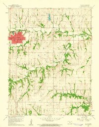
1960 · Holton
USGS Topo · 1:24,000
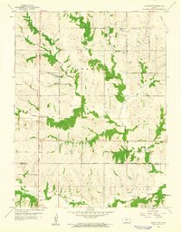
1960 · Horton NW
USGS Topo · 1:24,000