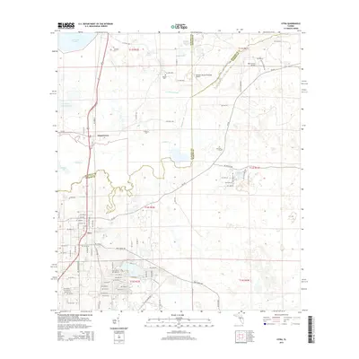
2015 Map of Citra
USGS Topo · Published 2015About this map
Citra and Island Grove anchor this north-central Florida landscape, where the boundaries of Alachua, Marion, and Putnam counties converge. The terrain is defined by a complex network of wetlands and small water bodies, notably the extensive Lochloosa Slough and the winding course of Orange Creek. For those tracing local families, several established burial grounds are documented, including Antioch Cem, Tompkins Cem, and Citra Cem.
Find a feature on this map
72 named features on this map. Tap any name to fly to it.
Don’t see what you’re looking for? This feature index may not catch every label — zoom into the map to look around manually.
Map Details
Editions of this 2015 Citra Map
This is the sole edition of this map. No revisions or reprints were ever made.
Other maps of this area

1893 · Citra
USGS Topo · 1:62,500

1895 · Citra
USGS Topo · 1:62,500

1915 · Interlachen
USGS Topo · 1:48,000

1916 · Interlachen
USGS Topo · 1:62,500

1938 · Hawthorn
USGS Topo · 1:48,000

1943 · Hawthorn
USGS Topo · 1:62,500

1944 · Interlachen
USGS Topo · 1:62,500

1949 · Keuka
USGS Topo · 1:24,000

1949 · Interlachen
USGS Topo · 1:62,500

1954 · Gainesville
USGS Topo · 1:250,000