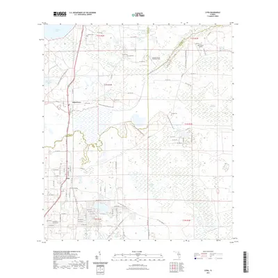
2021 Map of Citra
USGS Topo · Published 2021About this map
Citra and Island Grove anchor this map of north-central Florida, an area defined by its complex hydrology and conservation lands. The landscape is dominated by the Lochloosa Slough and Orange Creek systems, with vast wetland reaches such as Black Sink Prairie and the sandy reaches of California Scrub. Local history is preserved in several family and community burial grounds, including Tompkins Cem, Antioch Cem, and Carlton Cem, which are often the only remaining identifiers of early settlement patterns in this low-lying terrain. The map also captures modern land use through the Lochloosa Wildlife Conservation Area Trl and the Orange Creek Restoration Area Trl, showing how these former agricultural or wild lands have been repurposed for environmental stewardship. Aviation enthusiasts can find the Marjorie Kennan Rawlings Airport and the nearby 85th Avenue Airstrip tucked among the drainages and pine lands near the Alachua and Marion County line.
Find a feature on this map
64 named features on this map. Tap any name to fly to it.
Don’t see what you’re looking for? This feature index may not catch every label — zoom into the map to look around manually.
Map Details
Editions of this 2021 Citra Map
This is the sole edition of this map. No revisions or reprints were ever made.
Other maps of this area

1893 · Citra
USGS Topo · 1:62,500

1895 · Citra
USGS Topo · 1:62,500

1915 · Interlachen
USGS Topo · 1:48,000

1916 · Interlachen
USGS Topo · 1:62,500

1938 · Hawthorn
USGS Topo · 1:48,000

1943 · Hawthorn
USGS Topo · 1:62,500

1944 · Interlachen
USGS Topo · 1:62,500

1949 · Keuka
USGS Topo · 1:24,000

1949 · Interlachen
USGS Topo · 1:62,500

1954 · Gainesville
USGS Topo · 1:250,000