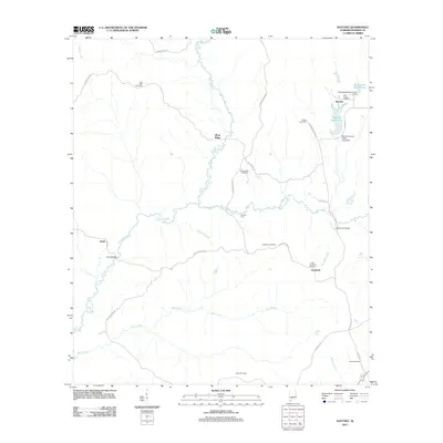
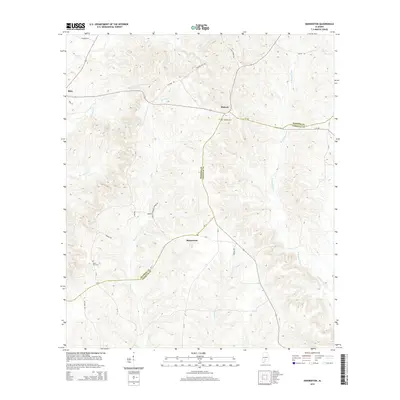
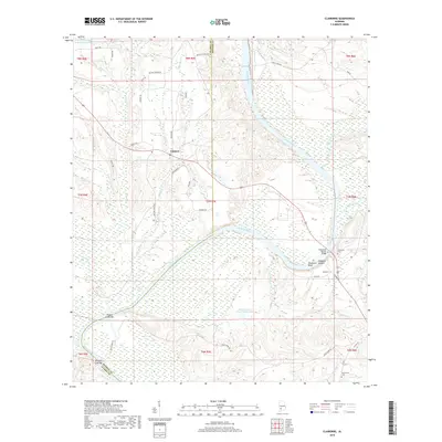
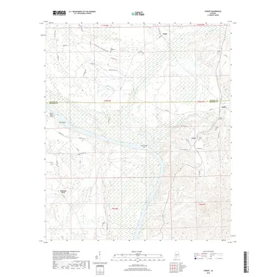
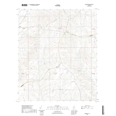
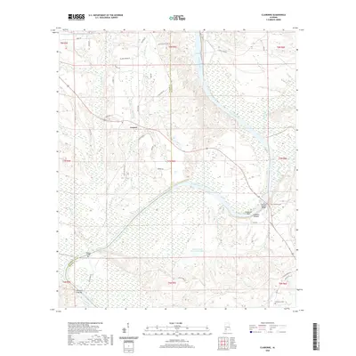
2024 Map of Claiborne
USGS Topo · Published 2024About this map
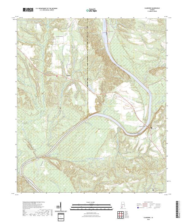
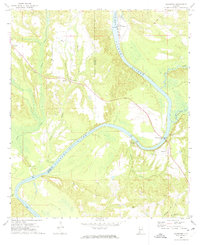
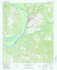
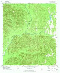
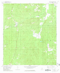
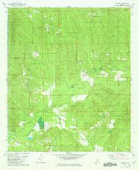
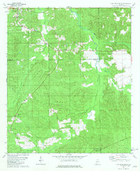
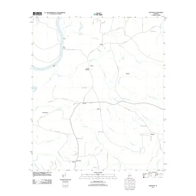
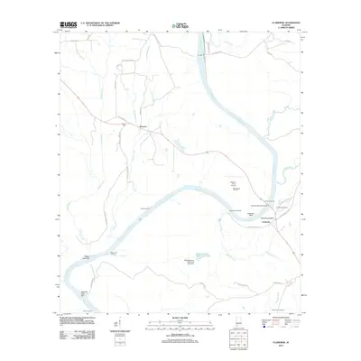
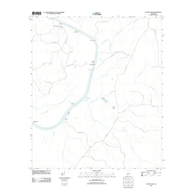
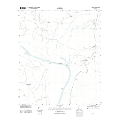
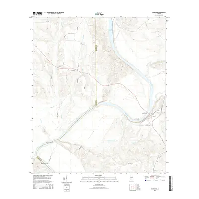
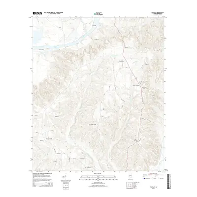
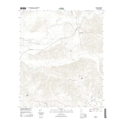
The Alabama River carves a sweeping path through this borderland of Clarke and Monroe Counties, where the transition from upland timber to riverine bottomlands is marked by distinct sandbars like Pigeon-Creek Bar and Mistress Gray Bar. The settlement at Gosport sits along the western bank, connected to a network of rural routes such as Gosport Rd and 11 Mile Post Rd. Across the water, the prominent Claiborne Bluff overlooks the river, a site defined by its steep elevation and proximity to the Claiborne Ferry crossing. Genealogy and local history researchers will find the locations of Claiborne Cem and McConnico Cem along the eastern ridges. The landscape is also characterized by managed water bodies and timber interests, including W D Harrigan and Eunice Woods Lake and the Mabel Bedsole Ward Trust Lake, highlighting the modern stewardship of this historic river corridor.
Find a feature on this map
50 named features on this map. Tap any name to fly to it.
Don’t see what you’re looking for? This feature index may not catch every label — zoom into the map to look around manually.
Map Details
Editions of this 2024 Claiborne Map
This is the sole edition of this map. No revisions or reprints were ever made.
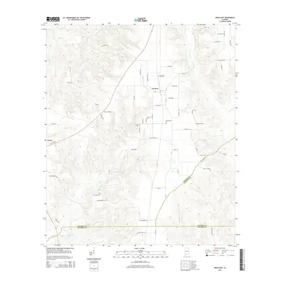
Historical Maps of Gosport Through Time
84 maps found
1971 Burnt Corn
Monroe County, AL
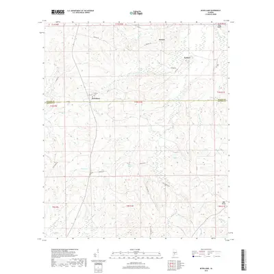
1971 Skinnerton
Monroe County, AL
1972 Chrysler
Monroe County, AL
1972 Claiborne
Monroe County, AL
1972 Flynns Lake
Monroe County, AL
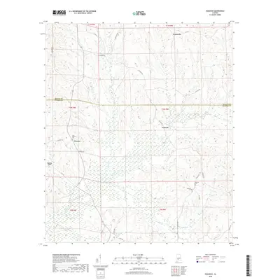
1972 Franklin
Monroe County, AL
1972 Mexia
Monroe County, AL
1972 Natchez
Monroe County, AL
1972 Uriah East
Monroe County, AL
1972 Uriah West
Monroe County, AL
1973 Hybart
Monroe County, AL
1981 Mc Williams
Monroe County, AL
1981 Nadawah
Monroe County, AL
1981 Pine Apple South
Monroe County, AL
2011 Burnt Corn
Monroe County, AL
2011 Chrysler
Monroe County, AL
2011 Claiborne
Monroe County, AL
2011 Flynns Lake
Monroe County, AL
2011 Franklin
Monroe County, AL
2011 Hybart
Monroe County, AL
2011 McWilliams
Monroe County, AL
2011 Mexia
Monroe County, AL
2011 Nadawah
Monroe County, AL
2011 Natchez
Monroe County, AL
2011 Pine Apple South
Monroe County, AL
2011 Skinnerton
Monroe County, AL
2011 Uriah East
Monroe County, AL
2011 Uriah West
Monroe County, AL
2014 Burnt Corn
Monroe County, AL
2014 Chrysler
Monroe County, AL
2014 Claiborne
Monroe County, AL
2014 Flynns Lake
Monroe County, AL
2014 Franklin
Monroe County, AL
2014 Hybart
Monroe County, AL
2014 McWilliams
Monroe County, AL
2014 Mexia
Monroe County, AL
2014 Nadawah
Monroe County, AL
2014 Natchez
Monroe County, AL
2014 Pine Apple South
Monroe County, AL
2014 Skinnerton
Monroe County, AL
2014 Uriah East
Monroe County, AL
2014 Uriah West
Monroe County, AL
2018 Burnt Corn
Monroe County, AL
2018 Chrysler
Monroe County, AL
2018 Claiborne
Monroe County, AL
2018 Flynns Lake
Monroe County, AL
2018 Franklin
Monroe County, AL
2018 Hybart
Monroe County, AL
2018 McWilliams
Monroe County, AL
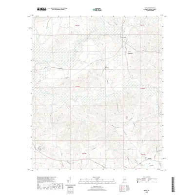
2018 Mexia
Monroe County, AL
2018 Nadawah
Monroe County, AL
2018 Natchez
Monroe County, AL
2018 Pine Apple South
Monroe County, AL
2018 Skinnerton
Monroe County, AL
2018 Uriah East
Monroe County, AL
2018 Uriah West
Monroe County, AL
2020 Burnt Corn
Monroe County, AL
2020 Chrysler
Monroe County, AL
2020 Claiborne
Monroe County, AL
2020 Flynns Lake
Monroe County, AL
2020 Franklin
Monroe County, AL
2020 Hybart
Monroe County, AL
2020 McWilliams
Monroe County, AL
2020 Mexia
Monroe County, AL
2020 Nadawah
Monroe County, AL
2020 Natchez
Monroe County, AL
2020 Pine Apple South
Monroe County, AL
2020 Skinnerton
Monroe County, AL
2020 Uriah East
Monroe County, AL
2020 Uriah West
Monroe County, AL
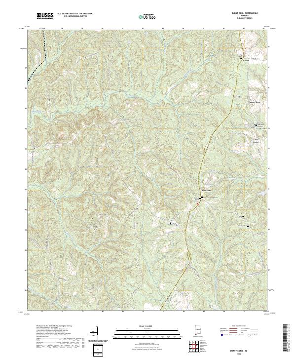
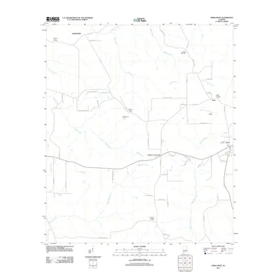
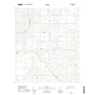
2024 Burnt Corn
Monroe County, AL
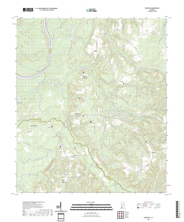
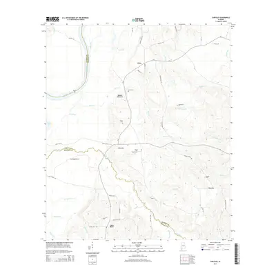
2024 Chrysler
Monroe County, AL
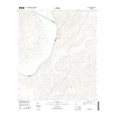
2024 Claiborne
Monroe County, AL
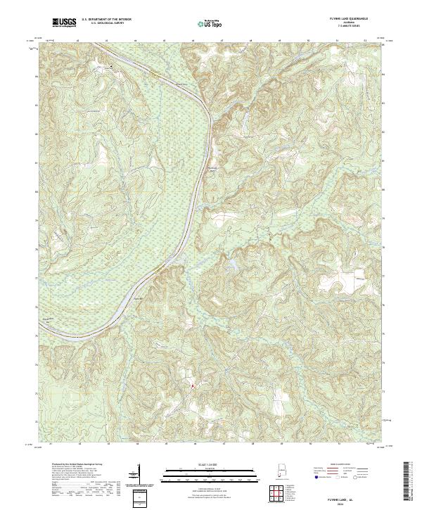
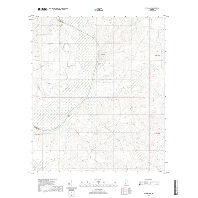
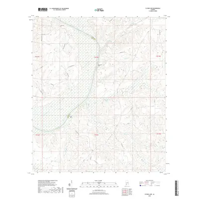
2024 Flynns Lake
Monroe County, AL
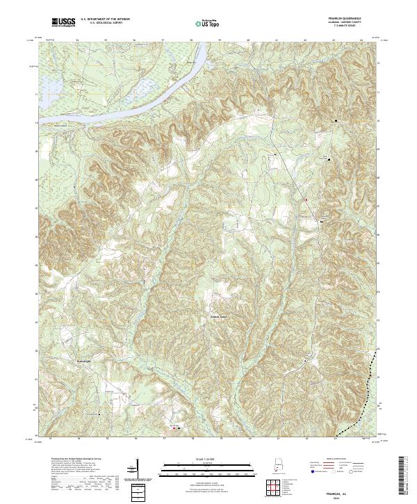
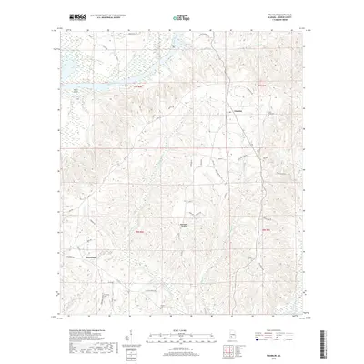
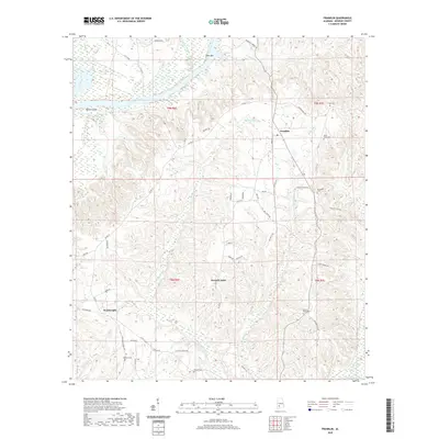
2024 Franklin
Monroe County, AL
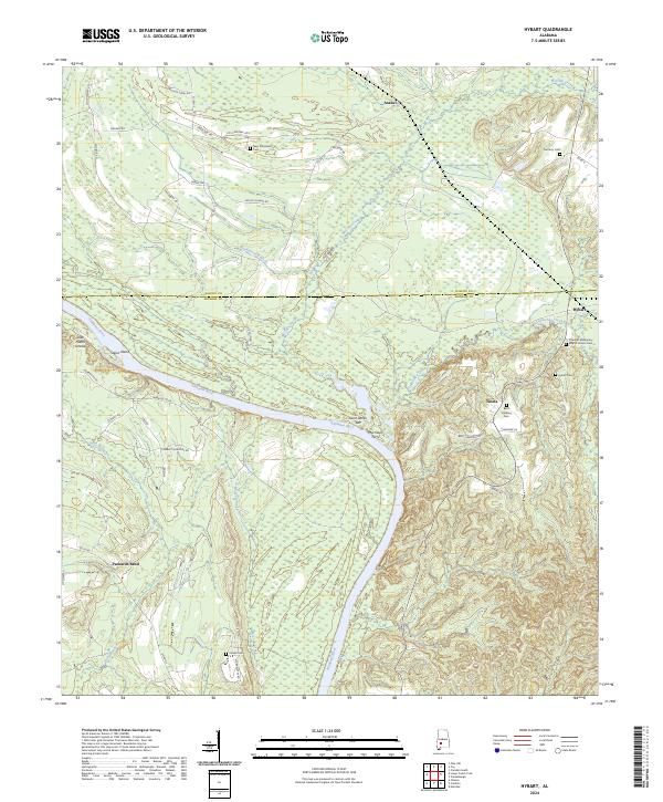
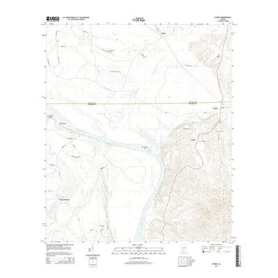
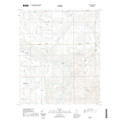
2024 Hybart
Monroe County, AL
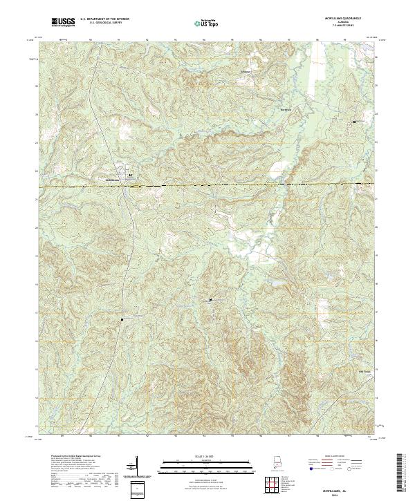
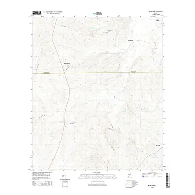
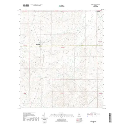
2024 McWilliams
Monroe County, AL
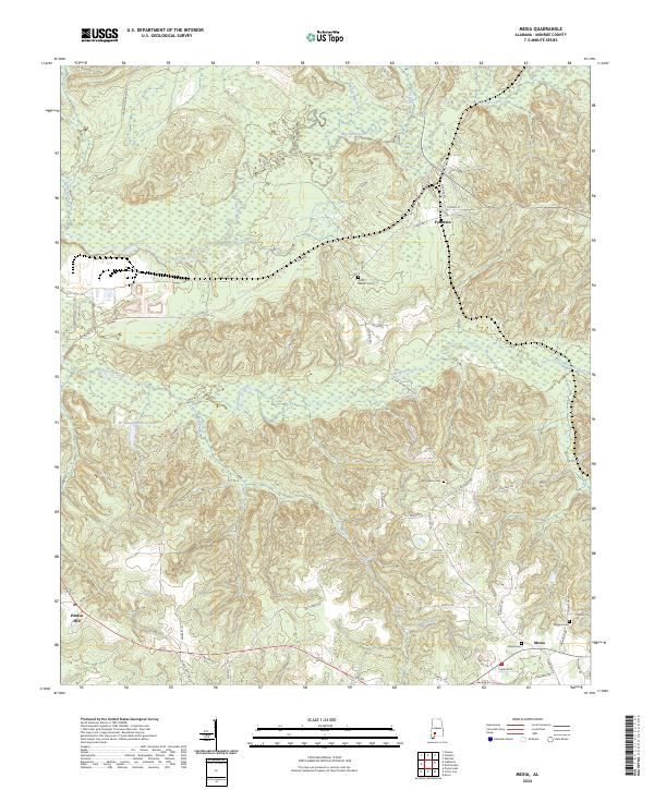
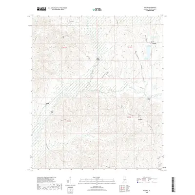
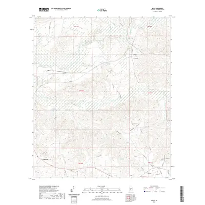
2024 Mexia
Monroe County, AL
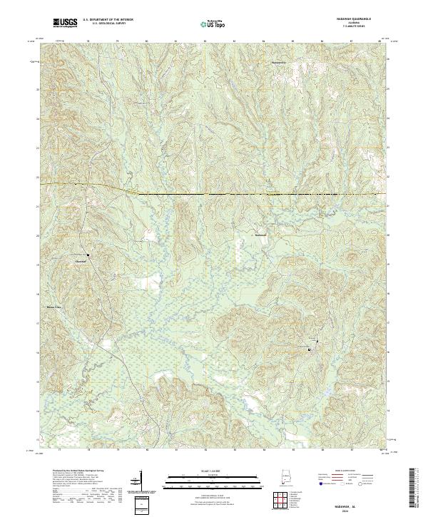
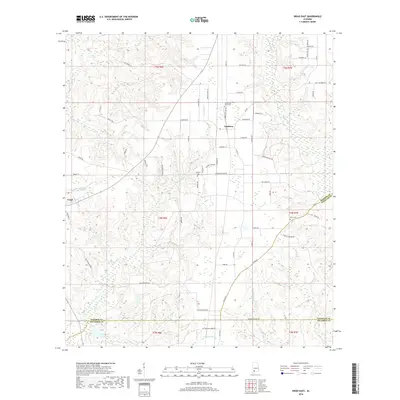
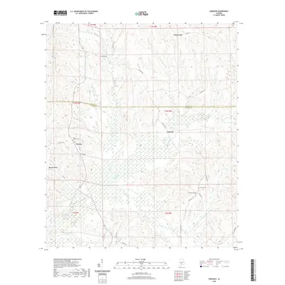
2024 Nadawah
Monroe County, AL
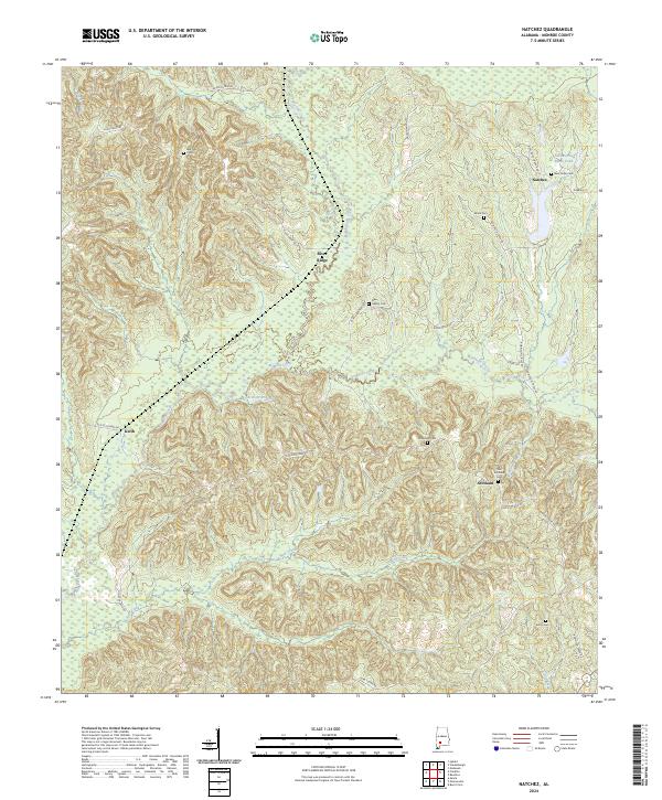
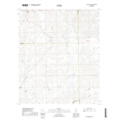
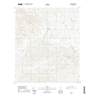
2024 Natchez
Monroe County, AL
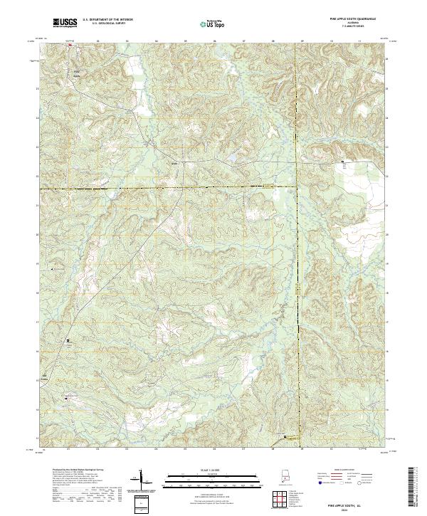
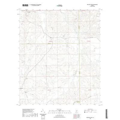
2024 Pine Apple South
Monroe County, AL
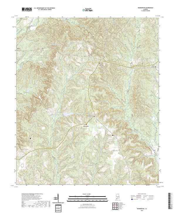
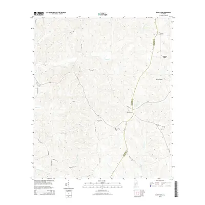
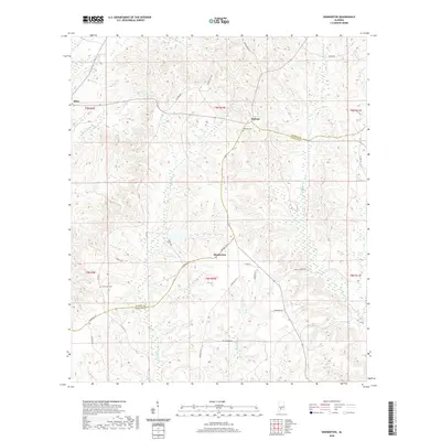
2024 Skinnerton
Monroe County, AL
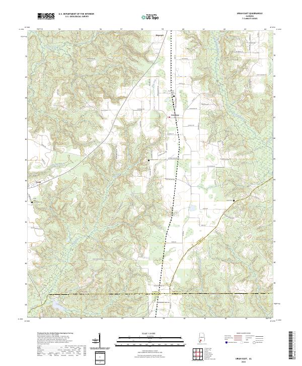
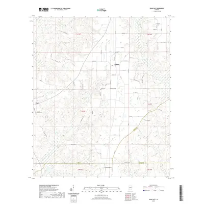
2024 Uriah East
Monroe County, AL
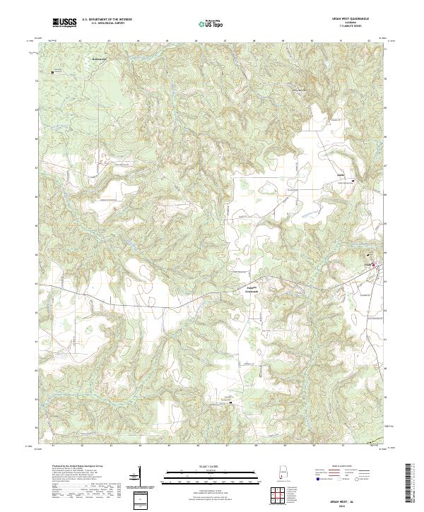
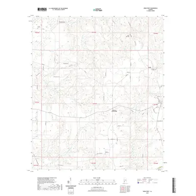
2024 Uriah West
Monroe County, AL