
1964 Map of Claire City SW
USGS Topo · Published 1967About this map
The Little Minnesota River and La Frombois Creek weave through this section of the prairie, defining a landscape of complex drainage basins and glacial features. In the mid-1960s, the Soo Line railroad provides a primary industrial artery across the northern townships of Norway and Veblen, crossing the county line between Marshall and Roberts. The map captures a transition from the level agricultural fields of the north to the more dramatic terrain of the south, where names like Uncle Myer Gulch and Steep Hollow suggest a deeply eroded topography. Local religious and community life is anchored by Mayason Ch and Bethel Ch, while the distribution of Gravel Pits points to the area's rural infrastructure and surfacing needs of the time.
Find a feature on this map
17 named features on this map. Tap any name to fly to it.
Don’t see what you’re looking for? This feature index may not catch every label — zoom into the map to look around manually.
Map Details
Editions of this 1964 Claire City SW Map
This is the sole edition of this map. No revisions or reprints were ever made.
Other maps of this area

1953 · Milbank
USGS Topo · 1:250,000

1958 · Milbank
USGS Topo · 1:250,000

1958 · Veblen
USGS Topo · 1:24,000

1958 · Veblen NE
USGS Topo · 1:24,000
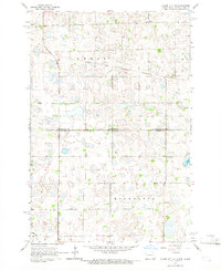
1964 · Claire City NE
USGS Topo · 1:24,000
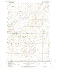
1964 · Claire City NW
USGS Topo · 1:24,000

1964 · Claire City
USGS Topo · 1:24,000

1970 · Whitestone Lake
USGS Topo · 1:24,000

1970 · Sisseton
USGS Topo · 1:24,000

1970 · South Red Iron Lake
USGS Topo · 1:24,000