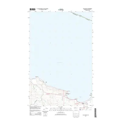
2014 Map of Clallam Bay
USGS Topo · Published 2014About this map
The Strait of Juan de Fuca defines the northern edge of this coastal landscape, where the international boundary between Washington and Canada meets the rugged shoreline of the Olympic Peninsula. The dual settlements of Sekiu and Clallam Bay serve as the primary hubs, connected by Wa-112 as it follows the curve of the shoreline. The maritime character of the region is evident at the eastern reach, where Slip Point extends into the water, marked by the Slip Point Lighthouse. To the west, the Hoko River and Little Hoko River drain through the valley near the small community of Hoko. This area represents a critical intersection of navigation and land travel, where coastal infrastructure like the Sekiu Airport and Olson's Resort Marina support the local economy. Portions of Olympic National Park protect the southern interior, contrasting with the developed waterfront and the prominent terrain of Sekiu Point and Kydaka Point.
Find a feature on this map
31 named features on this map. Tap any name to fly to it.
Don’t see what you’re looking for? This feature index may not catch every label — zoom into the map to look around manually.
Map Details
Editions of this 2014 Clallam Bay Map
This is the sole edition of this map. No revisions or reprints were ever made.
Other maps of this area

1922 · Pysht
USGS Topo · 1:62,500

1935 · Clallam
USGS Topo · 1:62,500

1935 · Lake Pleasant
USGS Topo · 1:62,500

1942 · Pysht
USGS Topo · 1:62,500

1942 · Clallam
USGS Topo · 1:62,500

1942 · Lake Pleasant
USGS Topo · 1:62,500

1953 · Cape Flattery
USGS Topo · 1:250,000

1957 · Lake Pleasant
USGS Topo · 1:62,500
1957 · Pysht
USGS Topo · 1:62,500
1957 · Clallam Bay
USGS Topo · 1:62,500