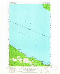
1957 Map of Clallam Bay
USGS Topo · Published 1964About this map
Clallam Bay serves as a critical maritime anchor on this mid-century survey of the Olympic Peninsula's northern coastline. The landscape is defined by the heavy timber industry of the era, evidenced by the Logging Railroad winding through the lowlands and the numerous creeks like Rasmussen Cr and Jansen Cr that cut through the coastal ridges. The map captures the international boundary within the Strait of Juan de Fuca, separating Washington from British Columbia's Vancouver Island, where the Provincial Forest is visible across the water.
Find a feature on this map
29 named features on this map. Tap any name to fly to it.
Don’t see what you’re looking for? This feature index may not catch every label — zoom into the map to look around manually.
Map Details
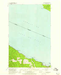
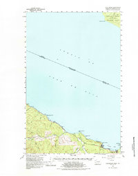
Editions of this 1957 Clallam Bay Map
3 editions found
Other maps of this area

1922 · Pysht
USGS Topo · 1:62,500

1935 · Clallam
USGS Topo · 1:62,500

1935 · Ozette Lake
USGS Topo · 1:62,500

1935 · Lake Pleasant
USGS Topo · 1:62,500

1938 · Cape Flattery
USGS Topo · 1:62,500

1942 · Pysht
USGS Topo · 1:62,500

1942 · Clallam
USGS Topo · 1:62,500

1942 · Ozette Lake
USGS Topo · 1:62,500

1942 · Lake Pleasant
USGS Topo · 1:62,500

1953 · Cape Flattery
USGS Topo · 1:250,000