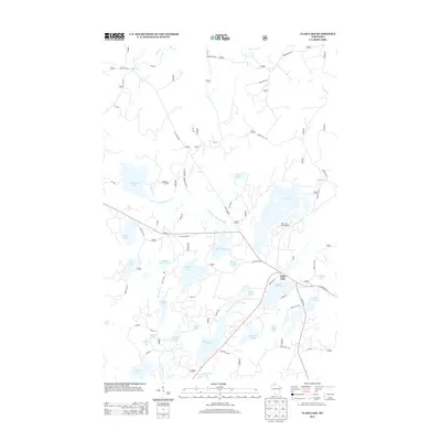
2013 Map of Clam Lake
USGS Topo · Published 2013About this map
Clam Lake serves as the central hub of this northern Wisconsin landscape, where State Hwy 77 meets Co Hwy GG amidst a dense network of glacial lakes and forest service roads. The area is defined by the headwaters of the West Fork Chippewa River, which connects several major water bodies including Upper Clam Lake and Lower Clam Lake 16. The presence of Old Grade Rd suggests the legacy of former rail or logging routes that once permeated these woods.
Find a feature on this map
59 named features on this map. Tap any name to fly to it.
Don’t see what you’re looking for? This feature index may not catch every label — zoom into the map to look around manually.
Map Details
Editions of this 2013 Clam Lake Map
This is the sole edition of this map. No revisions or reprints were ever made.
Other maps of this area

1942 · Clam Lake
USGS Topo · 1:48,000

1942 · Marengo
USGS Topo · 1:48,000

1943 · Namekagon Lake
USGS Topo · 1:48,000

1944 · Grandview
USGS Topo · 1:48,000

1945 · Namekagon Lake
USGS Topo · 1:48,000

1945 · Marengo
USGS Topo · 1:48,000

1945 · Clam Lake
USGS Topo · 1:48,000

1947 · Grandview
USGS Topo · 1:48,000

1953 · Ashland
USGS Topo · 1:250,000

1958 · Ashland
USGS Topo · 1:250,000