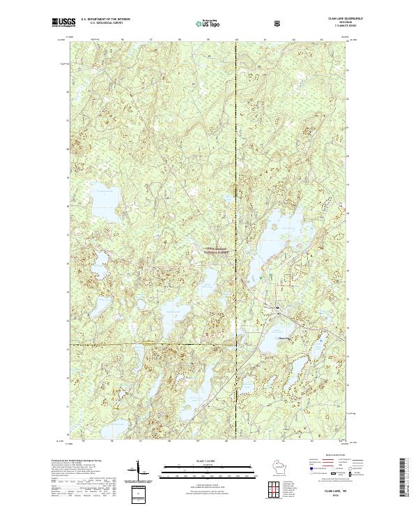
1971 Map of Clam Lake
USGS Topo · Published 1990About this map
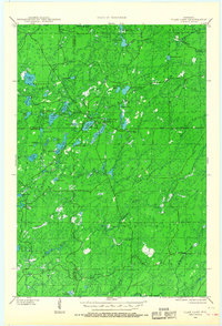
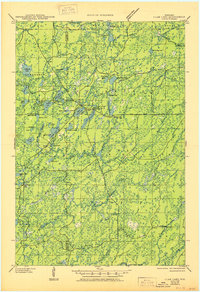
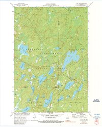
Chequamegon National Forest surrounds the small community of Clam Lake, shown here at a time when the area's identity was defined by its water and forestry. This 1971 survey captures the dense network of glaciated lakes and streams, from the large expanse of Day Lake to smaller bodies like Muskie Springs Lake and Chippewa Lake. Notable local landmarks include the Clam Lake Lookout Tower and the Job Corps Camp near the West Fork of the Chippewa River. Religious and civic life is centered near the main settlement at the Church of St George and Wildwood Cem. The landscape is etched with township boundaries and county lines, such as the divide between Bayfield and Ashland County, highlighting the remote character of this Northwoods region during the early 1970s.
Find a feature on this map
48 named features on this map. Tap any name to fly to it.
Don’t see what you’re looking for? This feature index may not catch every label — zoom into the map to look around manually.
Map Details
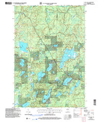
Editions of this 1971 Clam Lake Map
This is the sole edition of this map. No revisions or reprints were ever made.
Historical Maps of Shanagolden Through Time
9 maps found