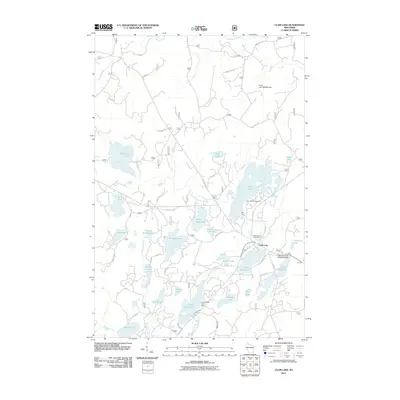
2005 Map of Clam Lake
USGS Topo · Published 2006About this map
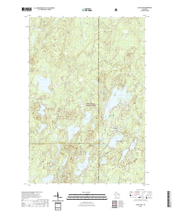
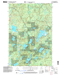
Chequamegon-Nicolet National Forest encompasses this glacial landscape, where the settlement of Clam Lake sits at the intersection of several regional boundaries. This 2005 revision highlights a transition from early extraction to recreation and forest management, visible in the numerous public access points such as the Boat Ramp on Day Lake and the Wayside Park near Upper Clam Lake. Historical markers of the community include the Church of St George and Wildwood Cem, located just south of the main township.
Find a feature on this map
45 named features on this map. Tap any name to fly to it.
Don’t see what you’re looking for? This feature index may not catch every label — zoom into the map to look around manually.
Map Details
Editions of this 2005 Clam Lake Map
This is the sole edition of this map. No revisions or reprints were ever made.
Historical Maps of Shanagolden Through Time
9 maps found