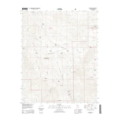
2015 Map of Claraville
USGS Topo · Published 2015About this map
Claraville sits at the heart of this high-elevation landscape within the Sequoia National Forest, where the complex geography of the Piute Mountains meets the southern reaches of the Sierra Nevada. The map details a high-country environment defined by its numerous meadows and springs, which have long supported local activity. Notable features include Weldon Meadow, French Meadow, and Lomar Meadow, alongside the distinct Claraville Flat. The transit network is a mix of rugged forestry roads like Piute Mountain Rd and significant recreational paths, most notably the Pacific Crest National Scenic Trail as it winds north toward Saint John Ridge.
Find a feature on this map
43 named features on this map. Tap any name to fly to it.
Don’t see what you’re looking for? This feature index may not catch every label — zoom into the map to look around manually.
Map Details
Editions of this 2015 Claraville Map
This is the sole edition of this map. No revisions or reprints were ever made.
Other maps of this area

1906 · Kernville
USGS Topo · 1:125,000

1908 · Kernville
USGS Topo · 1:125,000

1915 · Mojave
USGS Topo · 1:125,000

1943 · Cross Mountain
USGS Topo · 1:62,500

1943 · Emerald Mtn
USGS Topo · 1:62,500

1943 · Onyx
USGS Topo · 1:62,500

1943 · Isabella
USGS Topo · 1:62,500

1948 · Bakersfield
USGS Topo · 1:250,000

1955 · Bakersfield
USGS Topo · 1:250,000

1956 · Bakersfield
USGS Topo · 1:250,000