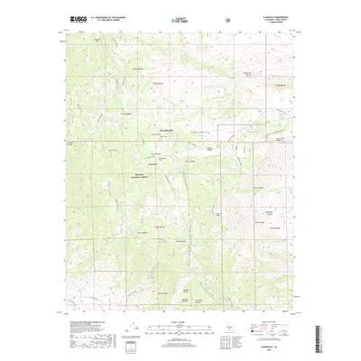
2018 Map of Claraville
USGS Topo · Published 2018About this map
Claraville sits at the heart of this high-elevation landscape within the southern boundaries of the Sequoia National Forest. The 2018 survey reveals a terrain defined by complex water resources and mountain topography, where numerous meadows such as Weldon Meadow, Grouse Meadow, and Mace Meadow provide natural breaks in the forested slopes of Piute Mountain. The presence of Waterhole Mine Spring and Burning Moscow Spring points to a legacy of resource extraction and local hydrology that has long influenced settlement patterns in this part of Kern County.
Find a feature on this map
53 named features on this map. Tap any name to fly to it.
Don’t see what you’re looking for? This feature index may not catch every label — zoom into the map to look around manually.
Map Details
Editions of this 2018 Claraville Map
This is the sole edition of this map. No revisions or reprints were ever made.
Other maps of this area

1906 · Kernville
USGS Topo · 1:125,000

1908 · Kernville
USGS Topo · 1:125,000

1915 · Mojave
USGS Topo · 1:125,000

1943 · Cross Mountain
USGS Topo · 1:62,500

1943 · Emerald Mtn
USGS Topo · 1:62,500

1943 · Onyx
USGS Topo · 1:62,500

1943 · Isabella
USGS Topo · 1:62,500

1948 · Bakersfield
USGS Topo · 1:250,000

1955 · Bakersfield
USGS Topo · 1:250,000

1956 · Bakersfield
USGS Topo · 1:250,000