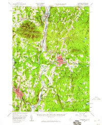
1957 Map of Claremont
USGS Topo · Published 1960About this map
Mt Ascutney dominates the western horizon of this mid-century survey, casting its shadow over a landscape where the Connecticut River serves as both a natural boundary and a central artery for industry. The map captures the industrial character of Claremont and Springfield, where the Sugar River and Black River powered numerous operations like Cornish Mills and Goulds Mill. Transportation is a defining feature, with the Central Vermont and Boston and Maine railroads threading through the valley to key nodes like Claremont Junc.
Find a feature on this map
127 named features on this map. Tap any name to fly to it.
Don’t see what you’re looking for? This feature index may not catch every label — zoom into the map to look around manually.
Map Details
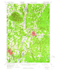
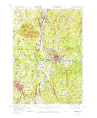
Editions of this 1957 Claremont Map
3 editions found
Other maps of this area

1902 · Sunapee
USGS Topo · 1:62,500

1905 · Sunapee
USGS Topo · 1:62,500

1906 · Hanover
USGS Topo · 1:62,500

1907 · Sunapee
USGS Topo · 1:62,500

1908 · Hanover
USGS Topo · 1:62,500

1911 · Woodstock
USGS Topo · 1:62,500

1913 · Woodstock
USGS Topo · 1:62,500

1926 · Claremont
USGS Topo · 1:62,500

1927 · Bellows Falls
USGS Topo · 1:48,000

1927 · Mascoma
USGS Topo · 1:62,500