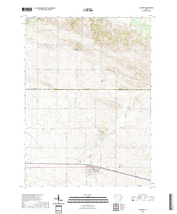
2022 Map of Clarence
USGS Topo · Published 2022About this map
Clarence serves as the central hub of this Eastern Iowa landscape, situated along a primary east-west rail corridor. The map reveals a highly structured agricultural grid, where the Cedar Jones Rd marks the political boundary between Jones Co and Cedar Co. This rural environment is anchored by several community burial grounds, including Clarence Cem, Saint Johns Cem, and the remote Pleasant Hill Cem, which provide significant points of interest for genealogical research. The drainage patterns are defined by the Wapsipinicon River in the northwest and smaller waterways like Yankee Run, Mill Cr, and Plum Cr that cut through the undulating prairie. The network of secondary roads, such as Oxford Junction Rd and Co Hwy X60, connects scattered farmsteads to the township centers, illustrating the enduring spatial organization of Cedar County's farming economy.
Find a feature on this map
57 named features on this map. Tap any name to fly to it.
Don’t see what you’re looking for? This feature index may not catch every label — zoom into the map to look around manually.
Map Details
Editions of this 2022 Clarence Map
This is the sole edition of this map. No revisions or reprints were ever made.
Other maps of this area

1889 · Tipton
USGS Topo · 1:62,500

1890 · Tipton
USGS Topo · 1:62,500

1891 · Monticello
USGS Topo · 1:62,500

1891 · Baldwin
USGS Topo · 1:62,500

1892 · Wheatland
USGS Topo · 1:62,500

1894 · Wheatland
USGS Topo · 1:62,500

1900 · Anamosa
USGS Topo · 1:125,000

1901 · Peosta
USGS Topo · 1:125,000

1901 · Rock Island
USGS Topo · 1:125,000

1901 · Stanwood
USGS Topo · 1:125,000