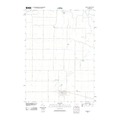
2010 Map of Clarence
USGS Topo · Published 2010About this map
Clarence serves as the primary hub of this eastern Iowa landscape, situated along a prominent east-west transportation corridor. The town's layout is centered around the Clarence Post Office, surrounded by a grid of agricultural lands that define the region's economy. The northern reaches of the quadrangle are marked by the Wapsipinicon River, where the Jungletown Public Access provides a point of entry to the water. This 2010 survey highlights a significant concentration of local burial grounds, including the Pleasant Hill Cemetery, Diamond Cemetery, and Dayton Valley Cemetery, which are essential for tracing early family lineages in Cedar County. The drainage patterns of Mill Creek and Yankee Run shape the local topography, with the Mill Creek Bridge serving as a notable landmark for those navigating the rural road network between the river and the town center.
Find a feature on this map
39 named features on this map. Tap any name to fly to it.
Don’t see what you’re looking for? This feature index may not catch every label — zoom into the map to look around manually.
Map Details
Editions of this 2010 Clarence Map
This is the sole edition of this map. No revisions or reprints were ever made.
Other maps of this area

1889 · Tipton
USGS Topo · 1:62,500

1890 · Tipton
USGS Topo · 1:62,500

1891 · Monticello
USGS Topo · 1:62,500

1891 · Baldwin
USGS Topo · 1:62,500

1892 · Wheatland
USGS Topo · 1:62,500

1894 · Wheatland
USGS Topo · 1:62,500

1900 · Anamosa
USGS Topo · 1:125,000

1901 · Peosta
USGS Topo · 1:125,000

1901 · Rock Island
USGS Topo · 1:125,000

1901 · Stanwood
USGS Topo · 1:125,000