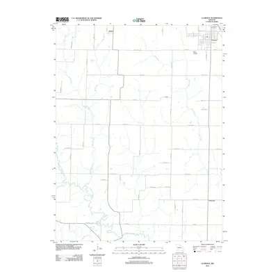
2012 Map of Clarence
USGS Topo · Published 2012About this map
The town of Clarence serves as the primary hub in this Missouri landscape, situated in the northeast corner of the sheet where the grid of city streets like W Hazel St and E Elm St meets the rural expanse. The surrounding countryside is defined by the winding course of the Middle Fork Salt River, which meanders through the southern half of the quadrangle alongside smaller tributaries such as Winn Branch, Bee Branch, and Otter Creek. These waterways dictate the local geography, creating a natural contrast with the rigid north-south and east-west orientation of the regional road network.
Find a feature on this map
51 named features on this map. Tap any name to fly to it.
Don’t see what you’re looking for? This feature index may not catch every label — zoom into the map to look around manually.
Map Details
Editions of this 2012 Clarence Map
This is the sole edition of this map. No revisions or reprints were ever made.
Other maps of this area

1908 · Atlanta
USGS Topo · 1:62,500

1908 · Macon
USGS Topo · 1:62,500

1910 · Macon
USGS Topo · 1:62,500

1953 · Moberly
USGS Topo · 1:250,000

1954 · Moberly
USGS Topo · 1:250,000

1957 · Moberly
USGS Topo · 1:250,000

1958 · Lentner
USGS Topo · 1:24,000
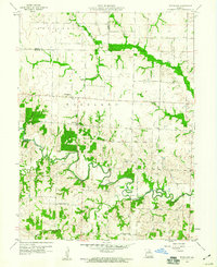
1959 · Woodlawn
USGS Topo · 1:24,000

1960 · Moberly
USGS Topo · 1:250,000
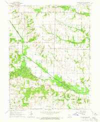
1964 · Hagers Grove
USGS Topo · 1:24,000