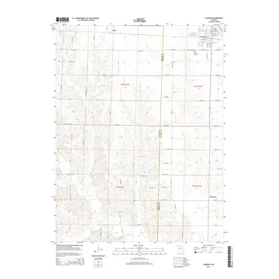
2014 Map of Clarence
USGS Topo · Published 2014About this map
The town of Clarence serves as the primary hub of this north-central Missouri landscape, situated near the boundary where Macon Co and Shelby County meet. The community is laid out on a grid featuring residential streets such as W Walnut St, E Hickory St, and W Cedar Ave. Just southwest of the main settlement lies Saint Patricks Cemetery, while the smaller settlements of Anabel and Enterprise anchor the outlying rural sections. The drainage of the area is defined by the Middle Fork Salt River, which is fed by numerous tributaries including Otter Cr, Bee Br, and Winn Br. This network of creeks and branches creates a undulating topography between the agricultural uplands and the river bottoms, illustrating the persistent rural character of the region in the early 21st century.
Find a feature on this map
77 named features on this map. Tap any name to fly to it.
Don’t see what you’re looking for? This feature index may not catch every label — zoom into the map to look around manually.
Map Details
Editions of this 2014 Clarence Map
This is the sole edition of this map. No revisions or reprints were ever made.
Other maps of this area

1908 · Atlanta
USGS Topo · 1:62,500

1908 · Macon
USGS Topo · 1:62,500

1910 · Macon
USGS Topo · 1:62,500

1953 · Moberly
USGS Topo · 1:250,000

1954 · Moberly
USGS Topo · 1:250,000

1957 · Moberly
USGS Topo · 1:250,000

1958 · Lentner
USGS Topo · 1:24,000
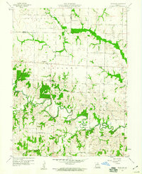
1959 · Woodlawn
USGS Topo · 1:24,000

1960 · Moberly
USGS Topo · 1:250,000
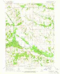
1964 · Hagers Grove
USGS Topo · 1:24,000