Loading...
Loading map...2022 Map of Clarendon
USGS Topo · Published 2022About this map
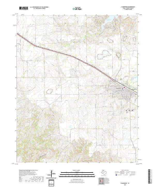
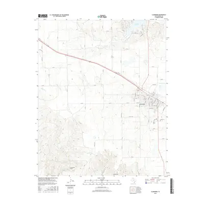
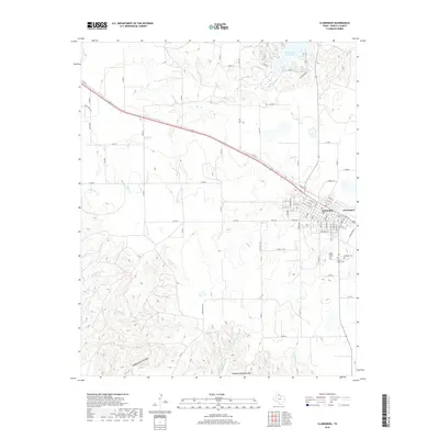
Clarendon serves as the focal point of this Donley County landscape, where the established town grid meets the educational grounds of Clarendon College. The town's institutional history is anchored by the Donley County Courthouse Annex, while its community lineage is preserved in a cluster of burial grounds to the southeast, including Odd Fellows Cem, Saint Marys Cem, and Citizens Cem.
Find a feature on this map
68 named features on this map. Tap any name to fly to it.
Don’t see what you’re looking for? This feature index may not catch every label — zoom into the map to look around manually.
Map Details
Date Portrayed2022
Date Published2022
PublisherU.S. Geological Survey
Map TypeTopographic
Scale1:24,000
Physical Dimensions24 x 29 inches
Editions of this 2022 Clarendon Map
This is the sole edition of this map. No revisions or reprints were ever made.
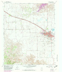
Historical Maps of Clarendon Through Time
6 maps found
Featured Locations
Source Details
SourceU.S. Geological Survey
CopyrightPublic Domain