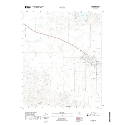
2019 Map of Clarendon
USGS Topo · Published 2019About this map
Clarendon serves as the focal point of this Donley County landscape, situated atop the plains of the Texas Panhandle. The town’s grid is clearly defined, with streets such as Wood Ave and Bugbee Ave extending toward a cluster of nearby burial grounds, including Odd Fellows Cem, Citizens Cem, and Saint Marys Cem. These sites offer significant value for genealogists tracing local families in the region. To the north, the waters of Greenbelt Reservoir dominate the drainage system, fed by Kelly Cr.
Find a feature on this map
72 named features on this map. Tap any name to fly to it.
Don’t see what you’re looking for? This feature index may not catch every label — zoom into the map to look around manually.
Map Details
Editions of this 2019 Clarendon Map
This is the sole edition of this map. No revisions or reprints were ever made.
Other maps of this area

1954 · Amarillo
USGS Topo · 1:250,000

1954 · Plainview
USGS Topo · 1:250,000

1958 · Amarillo
USGS Topo · 1:250,000

1958 · Plainview
USGS Topo · 1:250,000

1960 · Groom
USGS Topo · 1:62,500

1962 · Lelia Lake
USGS Topo · 1:24,000

1962 · Roach Ranch
USGS Topo · 1:24,000

1962 · Griffin Ranch
USGS Topo · 1:24,000

1963 · Clarendon
USGS Topo · 1:24,000

1963 · Buffalo Arroyo
USGS Topo · 1:24,000