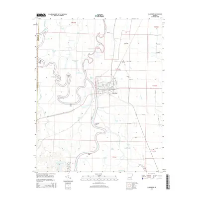
2014 Map of Clarendon
USGS Topo · Published 2014About this map
The White River carves a complex, winding path through Monroe and Prairie Counties, defining the landscape around Clarendon. This delta region is defined by its intricate hydrology, where the main river channel is joined by the Cache River and numerous oxbow formations like Upper Old River and The Horn. The map reveals the relationship between the elevated settlement at Clarendon and the surrounding wetlands, which are dotted with descriptively named landmarks such as Dead Man Point, Hole in the Wall, and Big Eddy Point.
Find a feature on this map
75 named features on this map. Tap any name to fly to it.
Don’t see what you’re looking for? This feature index may not catch every label — zoom into the map to look around manually.
Map Details
Editions of this 2014 Clarendon Map
This is the sole edition of this map. No revisions or reprints were ever made.
Other maps of this area

1935 · Clarendon
USGS Topo · 1:62,500

1940 · Holly Grove
USGS Topo · 1:62,500

1940 · Brinkley
USGS Topo · 1:62,500

1941 · De Valls Bluff
USGS Topo · 1:62,500

1941 · Clarendon
USGS Topo · 1:62,500

1948 · Helena
USGS Topo · 1:250,000

1950 · Helena
USGS Topo · 1:250,000

1955 · Helena
USGS Topo · 1:250,000
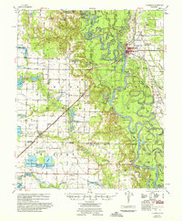
1957 · Clarendon
USGS Topo · 1:62,500

1957 · Holly Grove
USGS Topo · 1:62,500