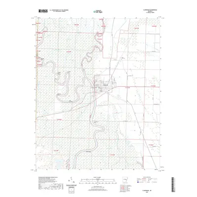
2020 Map of Clarendon
USGS Topo · Published 2020About this map
Clarendon serves as the focal point of this riverfront survey, positioned at the confluence of the White River and the Cache River. The landscape is dominated by the intricate hydrology of the Arkansas Delta, where meandering waterways have created complex formations like the Crooked Point Cut-off, The Horn, and Holly Tree Bend. These features reveal a shifting river environment where oxbow lakes such as Big Weidmann Lake and Upper Old River persist in the floodplains.
Find a feature on this map
66 named features on this map. Tap any name to fly to it.
Don’t see what you’re looking for? This feature index may not catch every label — zoom into the map to look around manually.
Map Details
Editions of this 2020 Clarendon Map
This is the sole edition of this map. No revisions or reprints were ever made.
Other maps of this area

1935 · Clarendon
USGS Topo · 1:62,500

1940 · Holly Grove
USGS Topo · 1:62,500

1940 · Brinkley
USGS Topo · 1:62,500

1941 · De Valls Bluff
USGS Topo · 1:62,500

1941 · Clarendon
USGS Topo · 1:62,500

1948 · Helena
USGS Topo · 1:250,000

1950 · Helena
USGS Topo · 1:250,000

1955 · Helena
USGS Topo · 1:250,000
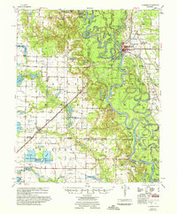
1957 · Clarendon
USGS Topo · 1:62,500

1957 · Holly Grove
USGS Topo · 1:62,500