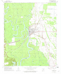
1968 Map of Clarendon
USGS Topo · Published 1978About this map
The confluence of the White River and the Cache River anchors the town of Clarendon, a riverfront community defined by its complex network of oxbows and backwaters. In the late 1960s, the landscape surrounding the settlement shows the heavy influence of the St Louis Southwestern railroad and an extensive Levee system designed to manage the unpredictable Delta waters. Beyond the town grid, the map reveals a rural geography of named landmarks like Dead Man Point and Walnut Ridge, along with several family and community hubs such as Shady Grove Cem and Grove Ch. The dense distribution of abandoned river channels, including Middle Old River and First Old River, illustrates the shifting nature of the local hydrology before modern stabilization, while the small settlement of Keevil sits at the northern edge of this agricultural and timber landscape.
Find a feature on this map
51 named features on this map. Tap any name to fly to it.
Don’t see what you’re looking for? This feature index may not catch every label — zoom into the map to look around manually.
Map Details
Editions of this 1968 Clarendon Map
2 editions found
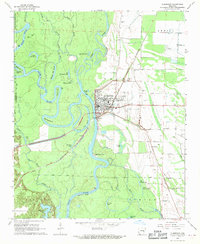
Other maps of this area

1935 · Clarendon
USGS Topo · 1:62,500

1940 · Holly Grove
USGS Topo · 1:62,500

1940 · Brinkley
USGS Topo · 1:62,500

1941 · De Valls Bluff
USGS Topo · 1:62,500

1941 · Clarendon
USGS Topo · 1:62,500

1948 · Helena
USGS Topo · 1:250,000

1950 · Helena
USGS Topo · 1:250,000

1955 · Helena
USGS Topo · 1:250,000
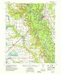
1957 · Clarendon
USGS Topo · 1:62,500

1957 · Holly Grove
USGS Topo · 1:62,500