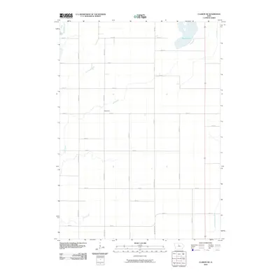
2010 Map of Clarion SW
USGS Topo · Published 2010About this map
Waterman stands as the primary named settlement on this agricultural landscape in north-central Iowa, situated along the north-south corridor of Nelson Ave. The terrain is defined by a dense network of water management features and natural drainages that support the region's farming economy. In the northeast corner, Big Wall Lake provides a significant natural landmark, while the South Fork Iowa River cuts through the southeastern section. The engineering of the land is evident in the presence of named drainage systems like Ditch Number 149 and Ditch Number 3, which work alongside natural watercourses such as White Fox Creek, Buck Creek, and Lyons Creek. This 2010 USGS survey documents the intersection of rural township roads and local hydrology, providing a clear record of the area's property access and land use patterns.
Find a feature on this map
29 named features on this map. Tap any name to fly to it.
Don’t see what you’re looking for? This feature index may not catch every label — zoom into the map to look around manually.
Map Details
Editions of this 2010 Clarion SW Map
This is the sole edition of this map. No revisions or reprints were ever made.
Other maps of this area

1954 · Waterloo
USGS Topo · 1:250,000

1955 · Waterloo
USGS Topo · 1:250,000

1978 · Blairsburg
USGS Topo · 1:24,000

1978 · Holmes
USGS Topo · 1:24,000

1978 · Woolstock
USGS Topo · 1:24,000

1978 · Clarion
USGS Topo · 1:24,000

1978 · Webster City
USGS Topo · 1:24,000

1978 · Sheldon Creek
USGS Topo · 1:24,000

1978 · Dows West
USGS Topo · 1:24,000

1978 · Clarion SW
USGS Topo · 1:24,000