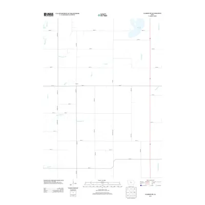
2013 Map of Clarion SW
USGS Topo · Published 2013About this map
Big Wall Lake dominates the northeast corner of this central Iowa landscape, serving as a primary hydrologic anchor in a region defined by agricultural engineering. The terrain is structured by an extensive network of human-made drainage systems, including Ditch Number 149, Ditch Number 3, and Ditch Number 144, which manage the flow through the fertile plains toward the S Fork Iowa River. The settlement of Waterman sits at a crossroads in the center of the sheet, surrounded by a precise grid of rural routes such as Co Hwy R38 and Neely Ave. This pattern of straight-line roads and named ditches illustrates the transformation of the prairie into a highly organized agrarian corridor, where natural streams like Buck Cr and White Fox Cr now coexist with modern reclamation infrastructure.
Find a feature on this map
35 named features on this map. Tap any name to fly to it.
Don’t see what you’re looking for? This feature index may not catch every label — zoom into the map to look around manually.
Map Details
Editions of this 2013 Clarion SW Map
This is the sole edition of this map. No revisions or reprints were ever made.
Other maps of this area

1954 · Waterloo
USGS Topo · 1:250,000

1955 · Waterloo
USGS Topo · 1:250,000

1978 · Blairsburg
USGS Topo · 1:24,000

1978 · Holmes
USGS Topo · 1:24,000

1978 · Woolstock
USGS Topo · 1:24,000

1978 · Clarion
USGS Topo · 1:24,000

1978 · Webster City
USGS Topo · 1:24,000

1978 · Sheldon Creek
USGS Topo · 1:24,000

1978 · Dows West
USGS Topo · 1:24,000

1978 · Clarion SW
USGS Topo · 1:24,000