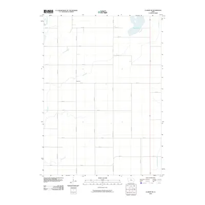
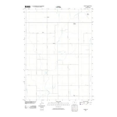
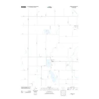
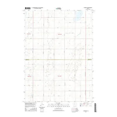
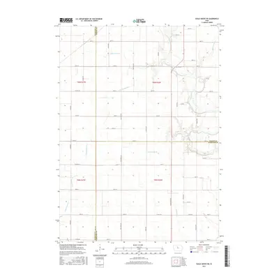
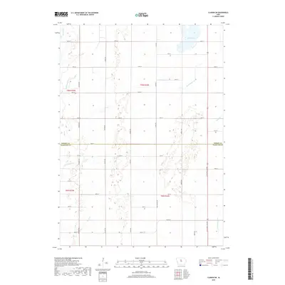
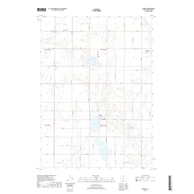
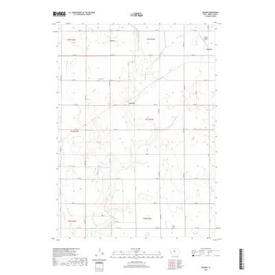
2022 Map of Clarion SW
USGS Topo · Published 2022About this map
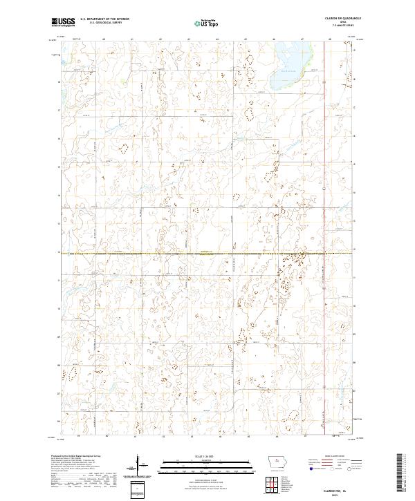
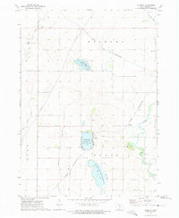
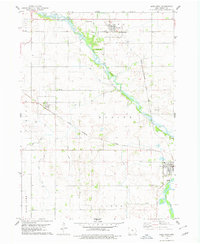
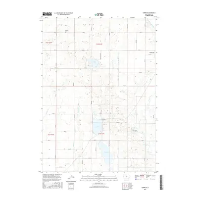
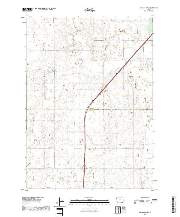
Big Wall Lake dominates the northeast corner of this agricultural landscape along the boundary of Wright Co and Hamilton Co. The terrain is defined by a sophisticated water management system designed to support intensive farming, featuring several named waterways like Ditch Number 149 and Ditch Number 3. These artificial channels run alongside natural drainages such as Buck Cr and Sheldon Cr, reflecting a century-long effort to stabilize the prairie for production. In the south, the headwaters of the S Fork Iowa River and Lyons Cr begin their journey through the grid-iron road network of the Iowa countryside. The map traces the rigid section lines of the Public Land Survey System, marked by local routes like Little Wall Lake Rd and McMurray Ave that connect the isolated farmsteads typical of this region.
Find a feature on this map
40 named features on this map. Tap any name to fly to it.
Don’t see what you’re looking for? This feature index may not catch every label — zoom into the map to look around manually.
Map Details
Editions of this 2022 Clarion SW Map
This is the sole edition of this map. No revisions or reprints were ever made.
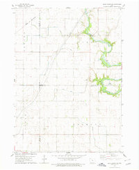
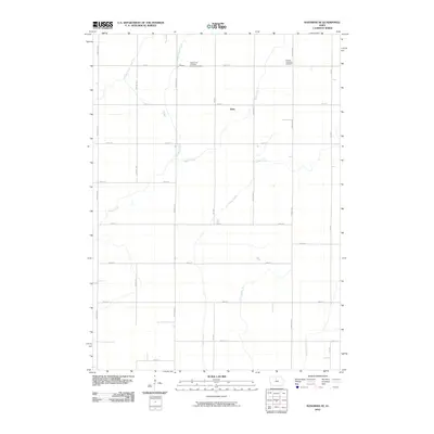
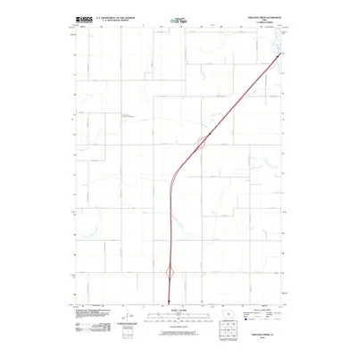
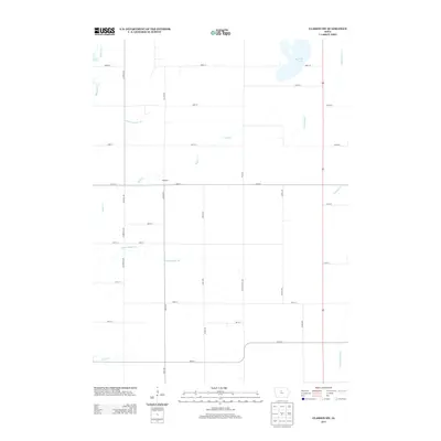
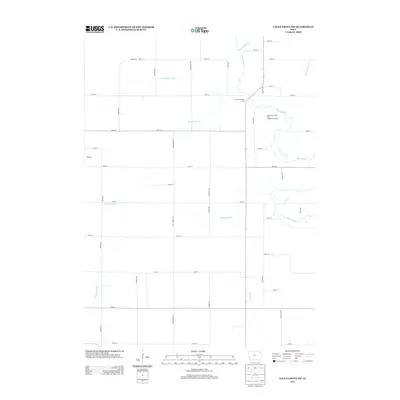
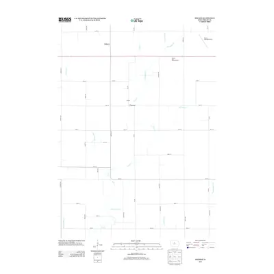
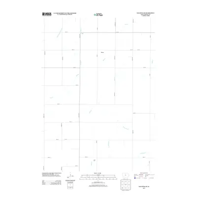
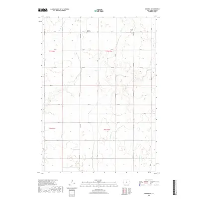
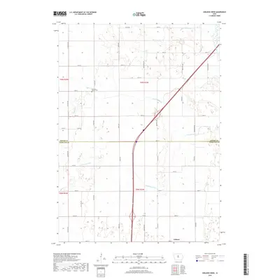
Historical Maps of Blairsburg Township Through Time
42 maps found
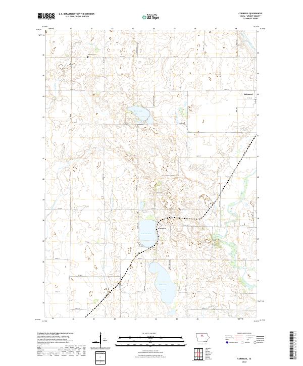
1972 Cornelia
Wright County, IA
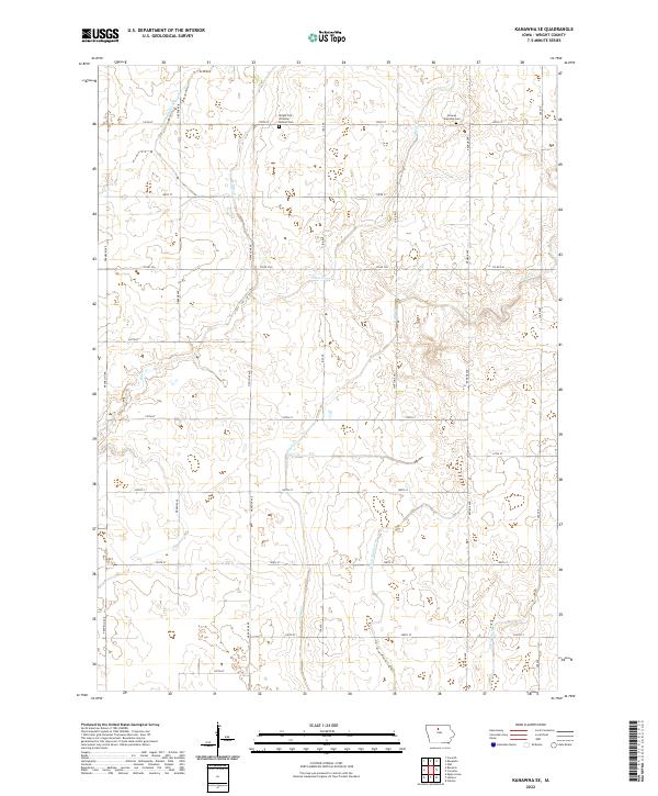
1972 Kanawha SE
Wright County, IA
1978 Clarion SW
Wright County, IA
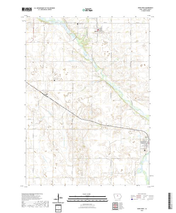
1978 Dows West
Wright County, IA
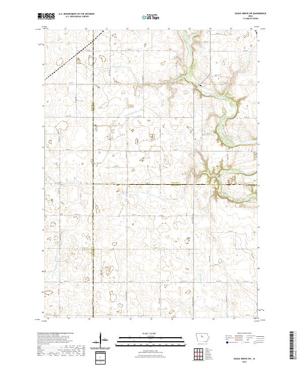
1978 Eagle Grove SW
Wright County, IA
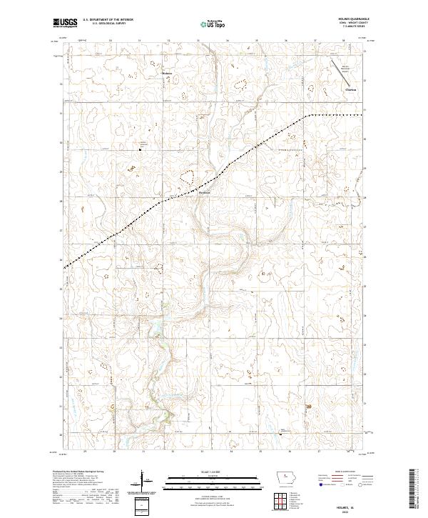
1978 Holmes
Wright County, IA
1978 Sheldon Creek
Wright County, IA
2010 Clarion SW
Wright County, IA
2010 Cornelia
Wright County, IA
2010 Dows West
Wright County, IA
2010 Eagle Grove SW
Wright County, IA
2010 Holmes
Wright County, IA
2010 Kanawha SE
Wright County, IA
2010 Sheldon Creek
Wright County, IA
2013 Clarion SW
Wright County, IA
2013 Cornelia
Wright County, IA

2013 Dows West
Wright County, IA
2013 Eagle Grove SW
Wright County, IA
2013 Holmes
Wright County, IA
2013 Kanawha SE
Wright County, IA
2013 Sheldon Creek
Wright County, IA
2015 Clarion SW
Wright County, IA
2015 Cornelia
Wright County, IA
2015 Dows West
Wright County, IA
2015 Eagle Grove SW
Wright County, IA
2015 Holmes
Wright County, IA
2015 Kanawha SE
Wright County, IA
2015 Sheldon Creek
Wright County, IA
2018 Clarion SW
Wright County, IA
2018 Cornelia
Wright County, IA
2018 Dows West
Wright County, IA
2018 Eagle Grove SW
Wright County, IA
2018 Holmes
Wright County, IA
2018 Kanawha SE
Wright County, IA
2018 Sheldon Creek
Wright County, IA
2022 Clarion SW
Wright County, IA
2022 Cornelia
Wright County, IA
2022 Dows West
Wright County, IA
2022 Eagle Grove SW
Wright County, IA
2022 Holmes
Wright County, IA
2022 Kanawha SE
Wright County, IA
2022 Sheldon Creek
Wright County, IA