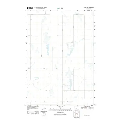
2012 Map of Clark Lake
USGS Topo · Published 2012About this map
Clark Lake sits as the central hydrologic feature in this South Dakota landscape, surrounded by an intricate network of section-line roads that define the rural character of Faulk County. The arrival of the 2010s reveals a prairie terrain managed through a grid of numerical routes such as 148th St and 341st Ave. A localized focus on communal agriculture is evident near the southern portion of the quadrangle with the presence of Brentwood Colony Rd, hinting at the settlement patterns of Hutterite colonies common to this region. The map captures a high-plains environment where seasonal wetlands and small basins dot the landscape between gravel roads like 151st St, illustrating the sparse but deliberate layout of modern Midwestern farming life.
Find a feature on this map
19 named features on this map. Tap any name to fly to it.
Don’t see what you’re looking for? This feature index may not catch every label — zoom into the map to look around manually.
Map Details
Editions of this 2012 Clark Lake Map
This is the sole edition of this map. No revisions or reprints were ever made.
Other maps of this area

1950 · Onaka
USGS Topo · 1:24,000

1951 · Clark Lake
USGS Topo · 1:24,000

1952 · Onaka
USGS Topo · 1:24,000

1952 · Norbeck
USGS Topo · 1:24,000

1952 · Burkmere
USGS Topo · 1:24,000

1952 · Onaka SW
USGS Topo · 1:24,000

1952 · Faulkton West
USGS Topo · 1:24,000

1954 · Aberdeen
USGS Topo · 1:250,000

1956 · Aberdeen
USGS Topo · 1:250,000

1965 · Onaka
USGS Topo · 1:24,000
Featured Places
- Thunderbird Hutterite Colony, SD
- Brentwood Hutterite Colony, SD
- Edmunds County, SD
- Faulk County, SD
- United States