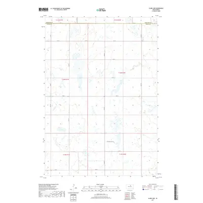
2017 Map of Clark Lake
USGS Topo · Published 2017About this map
Clark Lake sits at the heart of this prairie landscape in the north-central plains of South Dakota, straddling the line between Faulk and Edmunds counties. This 2017 survey documents a high-altitude agricultural grid characterized by numerous small glacial depressions and wetlands. The transition between township T121N R71W and its neighbors is marked by long, straight section-line roads like 148th St, which serves as a primary east-west artery through the open range and farmland. The map reveals a land defined by its hydrology, where water levels in the various basins fluctuate, shaping the local farming and ranching patterns of the early 21st century.
Find a feature on this map
2 named features on this map. Tap any name to fly to it.
Don’t see what you’re looking for? This feature index may not catch every label — zoom into the map to look around manually.
Map Details
Editions of this 2017 Clark Lake Map
This is the sole edition of this map. No revisions or reprints were ever made.
Other maps of this area

1950 · Onaka
USGS Topo · 1:24,000

1951 · Clark Lake
USGS Topo · 1:24,000

1952 · Onaka
USGS Topo · 1:24,000

1952 · Norbeck
USGS Topo · 1:24,000

1952 · Burkmere
USGS Topo · 1:24,000

1952 · Onaka SW
USGS Topo · 1:24,000

1952 · Faulkton West
USGS Topo · 1:24,000

1954 · Aberdeen
USGS Topo · 1:250,000

1956 · Aberdeen
USGS Topo · 1:250,000

1965 · Onaka
USGS Topo · 1:24,000
Featured Places
- Thunderbird Hutterite Colony, SD
- Brentwood Hutterite Colony, SD
- Edmunds County, SD
- Faulk County, SD
- United States