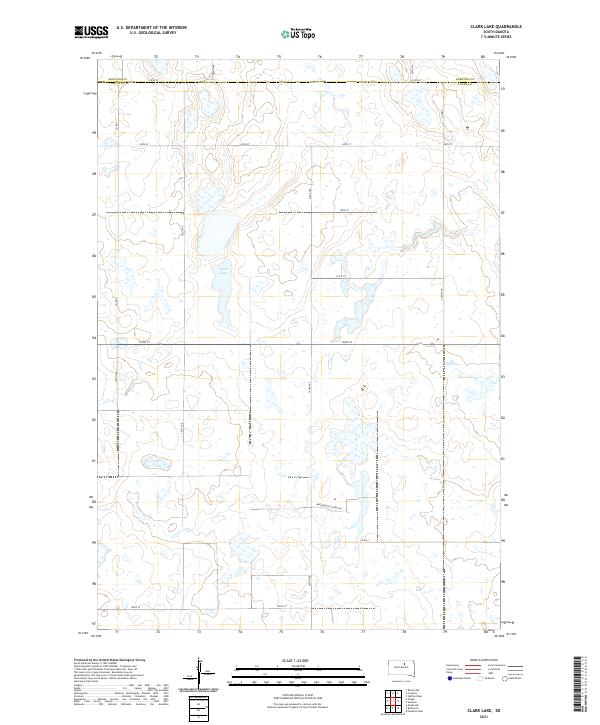
2021 Map of Clark Lake
USGS Topo · Published 2021About this map
Clark Lake sits at the center of this rural landscape on the border of Edmunds Co Faulk Co. This modern 2021 survey reveals a classic Great Plains section-line grid, where local travel is defined by routes like 342nd Ave and 152nd St. The presence of Brentwood Colony Rd in the southern portion of the quadrangle suggests the localized communal agricultural developments characteristic of this region of South Dakota. The terrain is dotted with numerous small wetlands and depressions typical of the glaciated prairie pothole region, creating a complex hydrological network that surrounds the larger permanent water body of Clark Lake. Connectivity across the county line is maintained by a system of well-defined local corridors including Co Rd 7 and Co Rd 9, facilitating movement through the township divisions of T121N and T120N.
Find a feature on this map
25 named features on this map. Tap any name to fly to it.
Don’t see what you’re looking for? This feature index may not catch every label — zoom into the map to look around manually.
Map Details
Editions of this 2021 Clark Lake Map
This is the sole edition of this map. No revisions or reprints were ever made.
Other maps of this area

1950 · Onaka
USGS Topo · 1:24,000

1951 · Clark Lake
USGS Topo · 1:24,000

1952 · Onaka
USGS Topo · 1:24,000

1952 · Norbeck
USGS Topo · 1:24,000

1952 · Burkmere
USGS Topo · 1:24,000

1952 · Onaka SW
USGS Topo · 1:24,000

1952 · Faulkton West
USGS Topo · 1:24,000

1954 · Aberdeen
USGS Topo · 1:250,000

1956 · Aberdeen
USGS Topo · 1:250,000

1965 · Onaka
USGS Topo · 1:24,000
Featured Places
- Thunderbird Hutterite Colony, SD
- Brentwood Hutterite Colony, SD
- Faulk County, SD
- Edmunds County, SD
- United States