
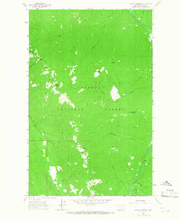
1963 Map of Clark Mountain
USGS Topo · Published 1966About this map
Kootenai National Forest dominates this mid-1960s survey of the Purcell Mountains, where the Yaak River cuts a deep valley through the northern Montana landscape. The map captures a moment when recreation and water management were the primary human imprints on this backcountry. Along the river, the Whitetail Creek Campground and Pete Creek Campground serve as established hubs for outdoor access, while a Gaging Sta monitors the flow of the Yaak.
Find a feature on this map
21 named features on this map. Tap any name to fly to it.
Don’t see what you’re looking for? This feature index may not catch every label — zoom into the map to look around manually.
Map Details
Editions of this 1963 Clark Mountain Map
This is the sole edition of this map. No revisions or reprints were ever made.
Other maps of this area

1957 · Kalispell
USGS Topo · 1:250,000

1960 · Kalispell
USGS Topo · 1:250,000

1961 · Kalispell
USGS Topo · 1:250,000

1963 · Yaak
USGS Topo · 1:24,000

1963 · Sylvanite
USGS Topo · 1:24,000

1963 · Mount Baldy
USGS Topo · 1:24,000

1963 · Northwest Peak
USGS Topo · 1:24,000

1963 · Garver Mountain
USGS Topo · 1:24,000
1963 · Newton Mountain
USGS Topo · 1:24,000

1963 · Bonnet Top
USGS Topo · 1:24,000