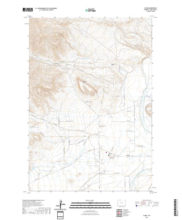
2021 Map of Clark
USGS Topo · Published 2021About this map
Clarks Fork Yellowstone River flows through this corner of Park County, defining a landscape shaped by an intricate network of irrigation systems and high desert terrain. The settlement of Clark serves as a local hub, situated near the Bennett Buttes Cem and the confluence of numerous managed water ways. The map reveals the critical importance of water rights in this arid region, as evidenced by the dense concentration of named irrigation channels like Kelly Ditch, Sirrine Ditch, and Anna May Ditch that crisscross the flats. Terrain features such as Sugarloaf Butte and Robertson Draw provide natural landmarks amidst a modern grid of rural roads and trails with distinctive local names, including Broken Arrow Trail and Shining Mountain Rd. This document captures the intersection of natural hydrology and human engineering at the foot of the mountains.
Find a feature on this map
57 named features on this map. Tap any name to fly to it.
Don’t see what you’re looking for? This feature index may not catch every label — zoom into the map to look around manually.
Map Details
Editions of this 2021 Clark Map
This is the sole edition of this map. No revisions or reprints were ever made.
Other maps of this area

1944 · Red Lodge
USGS Topo · 1:62,500

1950 · Clark
USGS Topo · 1:62,500

1950 · Deep Lake
USGS Topo · 1:62,500

1954 · Billings
USGS Topo · 1:250,000

1955 · Cody
USGS Topo · 1:250,000

1956 · Mount Maurice
USGS Topo · 1:62,500

1957 · Billings
USGS Topo · 1:250,000

1958 · Billings
USGS Topo · 1:250,000

1958 · Cody
USGS Topo · 1:250,000

1962 · Cody
USGS Topo · 1:250,000