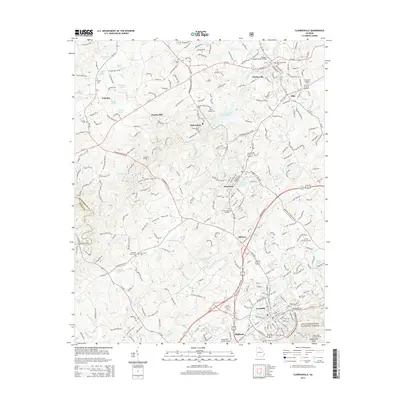
2014 Map of Clarkesville
USGS Topo · Published 2014About this map
Cornelia and Demorest serve as the principal hubs in this corner of Northeast Georgia, where the Southern railroad line anchors a corridor of development stretching through Baldwin and Midway. The landscape is defined by the winding course of the Soquee River, crossed by the Judge I Homer Sutton Bridge, and the multiple branches of Mud Creek that drain south toward the Chattahoochee National Forest.
Find a feature on this map
261 named features on this map. Tap any name to fly to it.
Don’t see what you’re looking for? This feature index may not catch every label — zoom into the map to look around manually.
Map Details
Editions of this 2014 Clarkesville Map
This is the sole edition of this map. No revisions or reprints were ever made.
Other maps of this area

1886 · Dahlonega
USGS Topo · 1:125,000

1886 · Walhalla
USGS Topo · 1:125,000

1891 · Gainesville
USGS Topo · 1:125,000

1891 · Carnesville
USGS Topo · 1:125,000

1892 · Dahlonega
USGS Topo · 1:125,000

1892 · Walhalla
USGS Topo · 1:125,000

1896 · Walhalla
USGS Topo · 1:125,000

1896 · Dahlonega
USGS Topo · 1:125,000

1903 · Dahlonega
USGS Topo · 1:125,000

1953 · Tallulah Falls
USGS Topo · 1:24,000