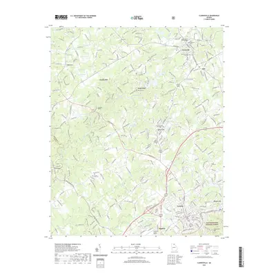
2020 Map of Clarkesville
USGS Topo · Published 2020About this map
The Soquee River winds through the heart of Habersham County, anchoring a landscape defined by its historic municipalities and educational institutions. This 2020 map documents the established centers of Clarkesville, Cornelia, and Demorest, the latter being the home of Piedmont College. The survey reveals a high density of genealogical sites, from the centrally located Habersham Cem to the outlying Victory Cem and Camp Creek Cem.
Find a feature on this map
102 named features on this map. Tap any name to fly to it.
Don’t see what you’re looking for? This feature index may not catch every label — zoom into the map to look around manually.
Map Details
Editions of this 2020 Clarkesville Map
This is the sole edition of this map. No revisions or reprints were ever made.
Other maps of this area

1886 · Dahlonega
USGS Topo · 1:125,000

1886 · Walhalla
USGS Topo · 1:125,000

1891 · Gainesville
USGS Topo · 1:125,000

1891 · Carnesville
USGS Topo · 1:125,000

1892 · Dahlonega
USGS Topo · 1:125,000

1892 · Walhalla
USGS Topo · 1:125,000

1896 · Walhalla
USGS Topo · 1:125,000
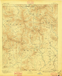
1896 · Dahlonega
USGS Topo · 1:125,000
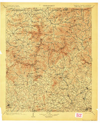
1903 · Dahlonega
USGS Topo · 1:125,000
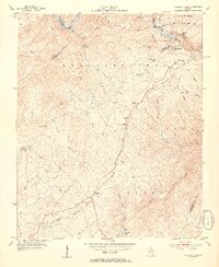
1953 · Tallulah Falls
USGS Topo · 1:24,000